
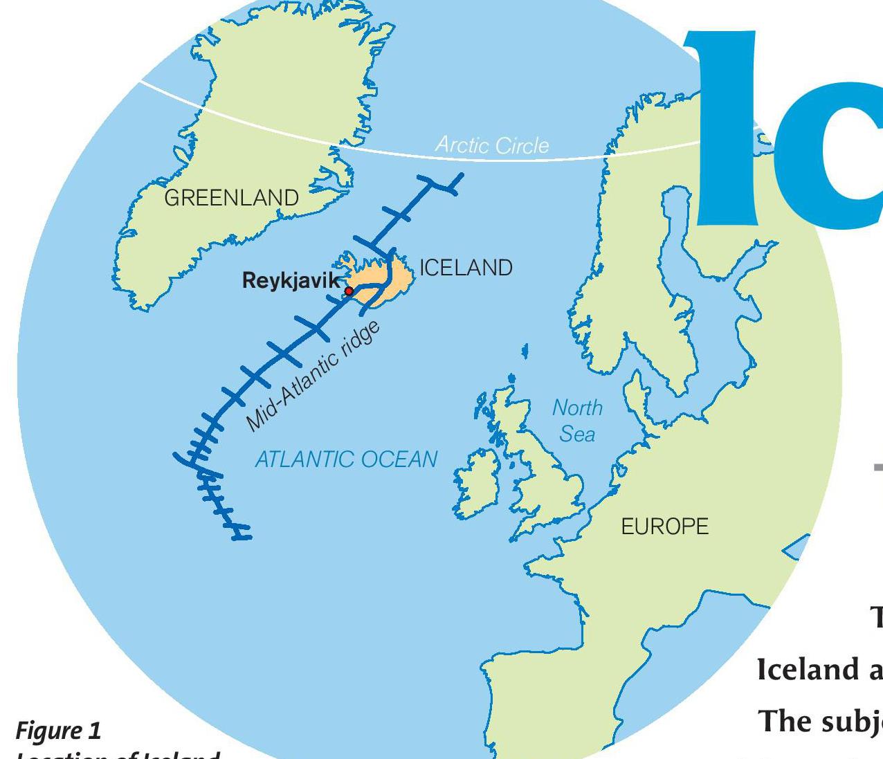
Figure 1 Location of Iceland
Iceland is Europe’s second-largest island and its westernmost country (see Figure 1). It holds a particular fascination for geographers. Lying just south of the Arctic Circle, it is home to Europe’s largest glacier, Vatnajökull. It is also a geologically unstable land. Violent natural forces unleashed by tectonic plate movements give rise to rugged volcanic landscapes, earthquakes and a variety of geothermal features.
The rocks that make up Iceland are almost entirely igneous and, for the most part, are less than 20 million years old. In geological terms this makes Iceland a very young country. Indeed, it is still being created.
Your organisation does not have access to this article.
Sign up today to give your students the edge they need to achieve their best grades with subject expertise
Subscribe


