
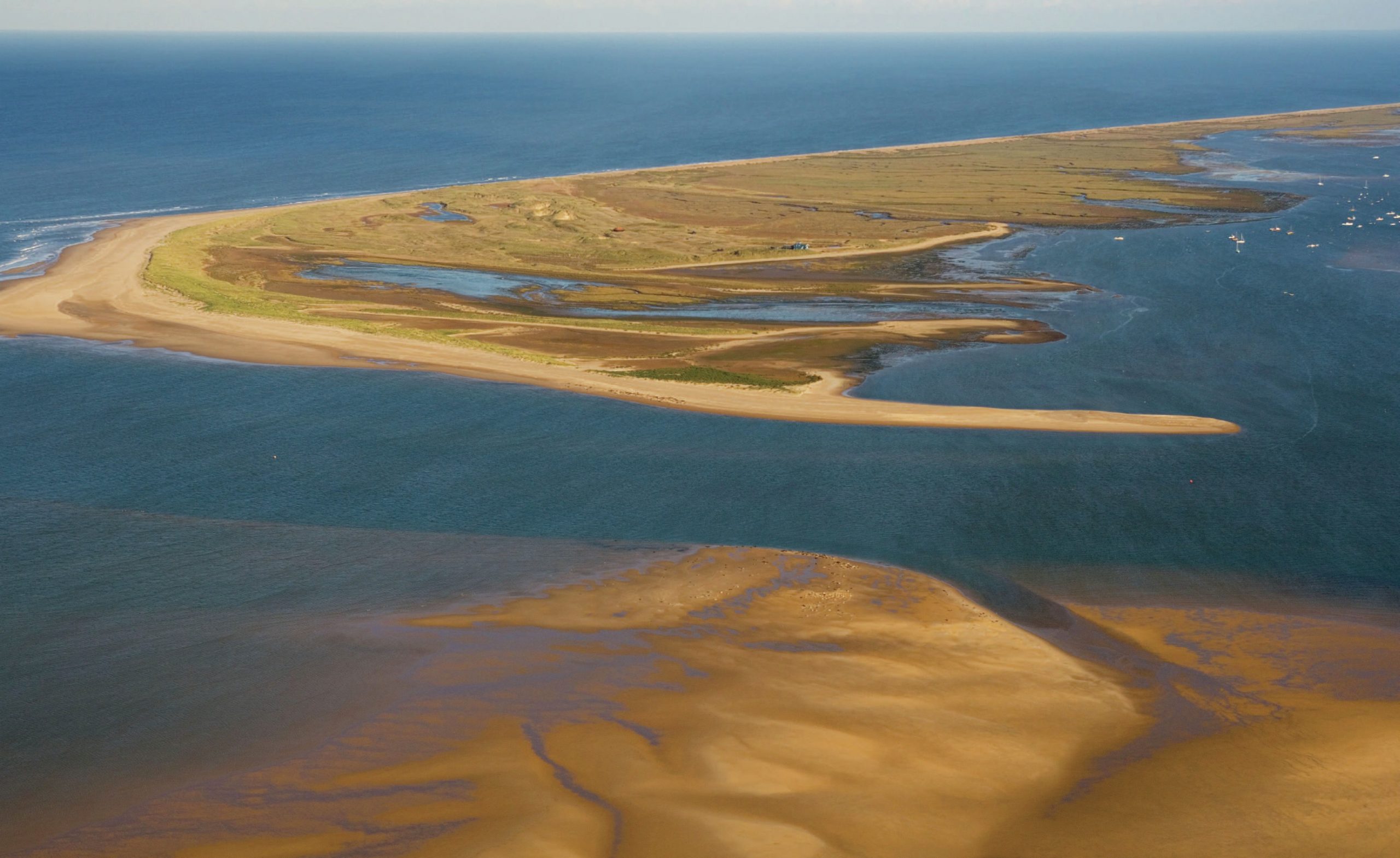
Every day in the summer months, visitors to the picturesque Norfolk village of Blakeney gather at the harbour, waiting for boats to take them to the seal and tern colonies at Blakeney Point (see Figure 1). These boats travel along the channel (Figure 2) with its swift tidal currents, between the great sand spit of Blakeney Point and the shore. The banks of the main channel are lined with saltmarshes.
Blakeney Point is a large shingle spit over 9 km in length from the cliffs at Weybourne westwards to its tip. The shingle extends along the coast for about 27 km, but it is only the final section which leaves the shore to form the spit. The material has been moved along the coastline westwards by a process known as longshore drift (see Figure 3). Much of the coastal lands are formed from glacial moraine which is easily attacked and eroded by the sea, and it is this material which is moved along the coast. Where the coastline turns, the material continues to be deposited at sea in the shallow waters away from the coast, forming the spit.
Your organisation does not have access to this article.
Sign up today to give your students the edge they need to achieve their best grades with subject expertise
Subscribe


