
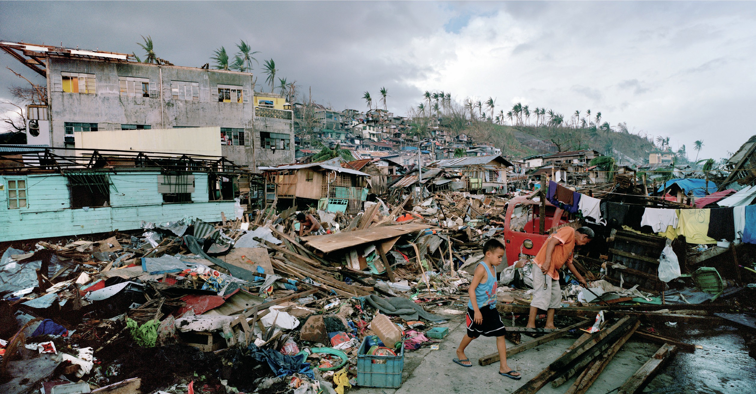
In early November 2013 an exceptionally powerful tropical cyclone devastated the Philippines. It was known there as Typhoon Yolanda, but the rest of the world called it Typhoon Haiyan. It was one of the strongest tropical cyclones ever recorded, and was responsible for over 6,000 deaths.
A typhoon forms when warm tropical waters are affected by a low-pressure weather system. A cycle of fast evaporation and condensation begins, building up the storm. Typhoon Haiyan originated on 2 November from an area of low pressure several hundred kilometres east of the Philippines in the Pacific Ocean. It began to track west, and by 4 November it had been declared a ‘tropical storm’ and named Haiyan. Further intensification followed. By 6 November the Joint Typhoon Warning Centre (JTWC) assessed it as being at level 5, the highest category on the Saffir-Simpson hurricane scale. At 6 p.m. on 7 November the JTWC estimated that the typhoon had sustained winds of 315 km/h.
Your organisation does not have access to this article.
Sign up today to give your students the edge they need to achieve their best grades with subject expertise
Subscribe


