
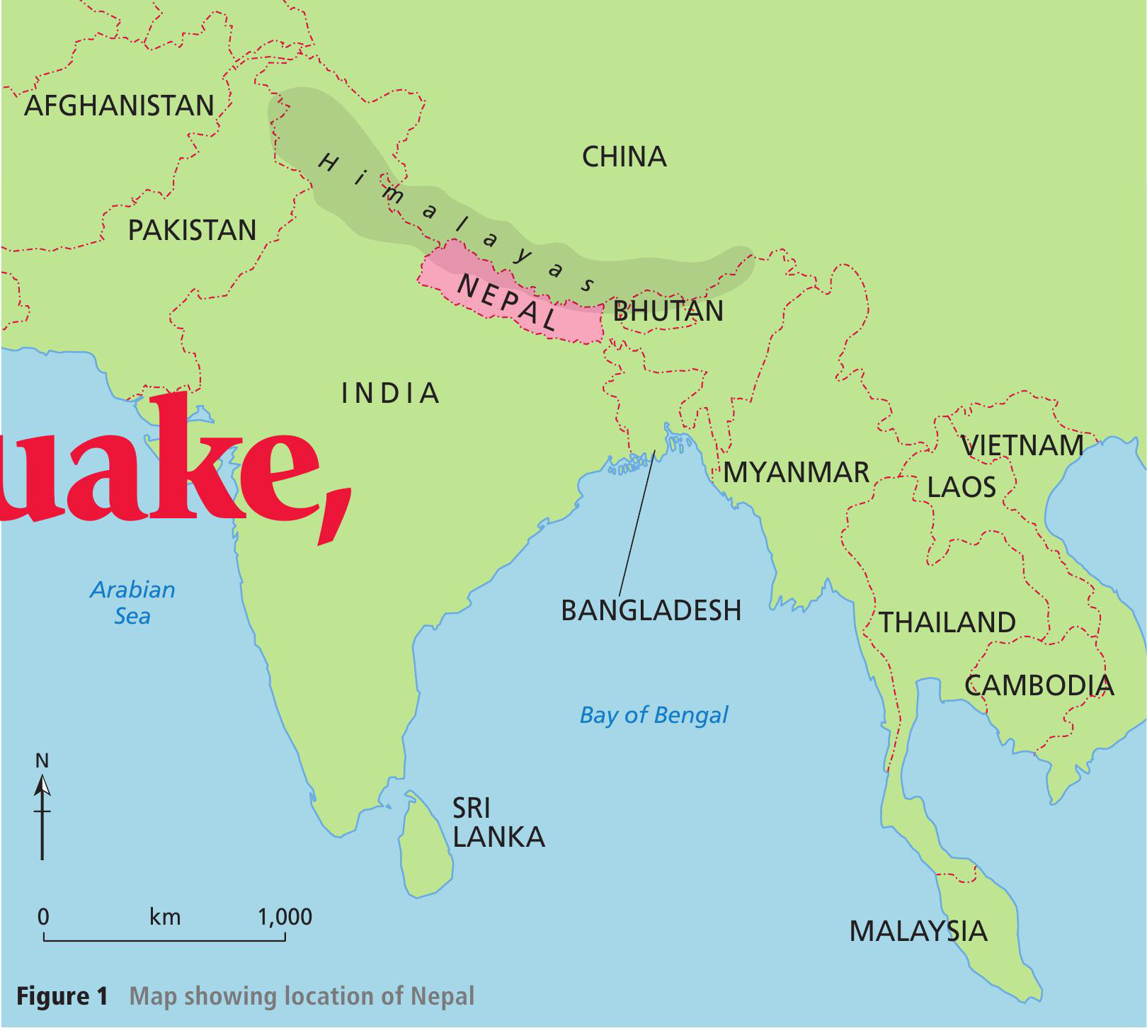
Figure 1 Map showing location of Nepal
On 25 April 2015 a devastating earthquake struck Nepal. It measured 7.8 on the Richter scale. Much of Nepal lies in the Himalayas (see Figure 1) and it is one of the poorest countries in the world.
The earthquake occurred along a destructive collision plate boundary where the Indian and Eurasian plates are moving towards each other (Figure 2). Seismologists believe that the Indian tectonic plate moved 3 metres north during the earthquake, resulting in violent ground shaking. The epicentre was in the Gorkha district, 80 km northwest of Kathmandu, Nepal’s capital.
Your organisation does not have access to this article.
Sign up today to give your students the edge they need to achieve their best grades with subject expertise
Subscribe


