
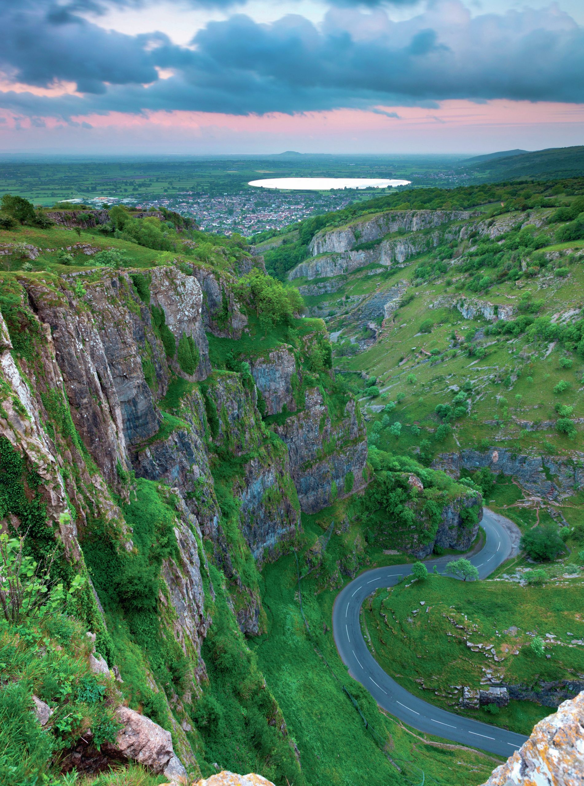
Rocky gorges with precipitous sides have formed in areas of the British Isles where carboniferous limestone is present. The best known of these is Cheddar Gorge on the southern edge of the Mendip Hills in Somerset (Figure 1). The photo (above) shows the gorge looking west across to the North Somerset Levels, with Axbridge reservoir in the distance.
You can see that Cheddar Gorge is a narrow chasm cut down into the upland. It has a maximum depth of 137 metres, with near-vertical cliffs facing south and gentler grassy slopes facing north. The valley was cut into the hills by running water. This is likely to have occurred in warmer periods during and immediately after the Ice Age, when underground caves were blocked by ice and frozen mud, forcing meltwater to run on the surface and carve out the gorge. After the Ice Age, water was able to find its way underground again, creating more caves and leaving the gorge dry.
Your organisation does not have access to this article.
Sign up today to give your students the edge they need to achieve their best grades with subject expertise
Subscribe


