
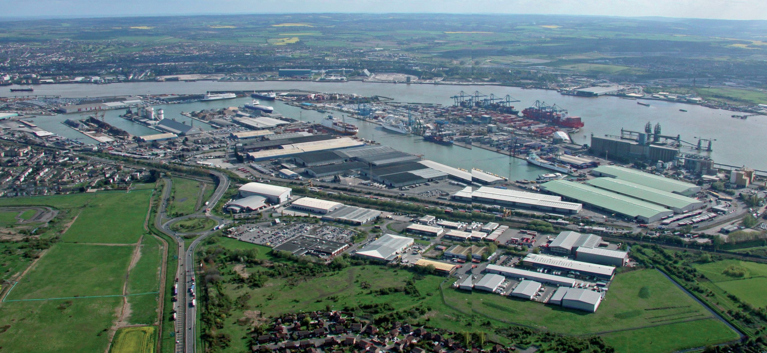
The port of Tilbury lies on the northern shore of the River Thames about 40 km east of the centre of London. It is situated at a point where the river makes a loop southwards and narrows to just over 700 metres. Within this meander was a large area of marshland. This was converted into the dockland shown in the photograph. On the other side of the river there already existed the port of Gravesend and the naval dockyard of Northfleet.
As part of the Port of London Authority, Tilbury is now the largest deep-water port on the Thames and is in a strategic position for the transport of goods in and out of the capital and the southeast. As it is only 11 km from the M25 (via the A1809 and A15) it is also well connected to the national motorway network (Figure 1 and Figure 2). Seventy per cent of the UK’s population live within 160 km. It is also well linked by rail, allowing containers to be moved to and from the port by this means.
Your organisation does not have access to this article.
Sign up today to give your students the edge they need to achieve their best grades with subject expertise
Subscribe


