
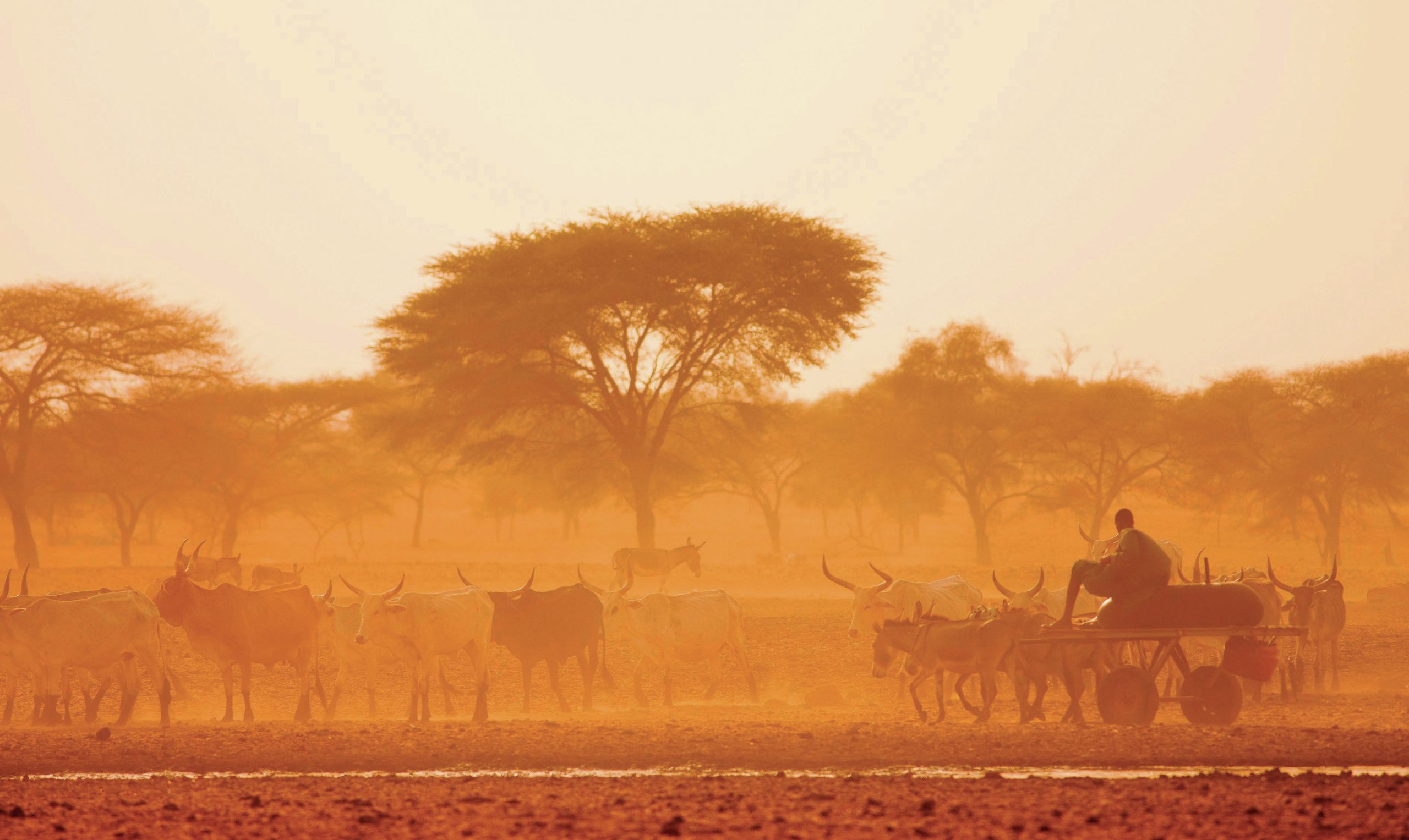
The Sahel is a zone in Africa between the Sahara Desert and the more fertile lands to the south (Figure 1). It stretches across the continent through nine countries. Over 50 million people live in the region. The term ‘sahel’ means border — in this case the edge of the Sahara Desert.
The annual rainfall of the Sahel varies on average from 100 mm on the edge of the Sahara to 500 mm in the south. However, these averages mask the large variations that occur from year to year. There is much evidence to suggest that in recent years the actual rainfall has been well below average. The natural vegetation of the Sahel is droughtresistant shrubs and grasses.
Your organisation does not have access to this article.
Sign up today to give your students the edge they need to achieve their best grades with subject expertise
Subscribe


