
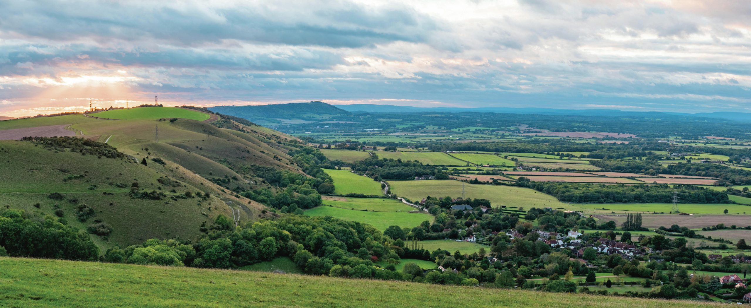
This is a view looking west along the north-facing escarpment of the South Downs from Devil’s Dyke. The village of Fulking is in the foreground.
Structurally, southeast England is an area of uplift and is a region of in-facing scarps and concentric vales of more easily eroded rocks (greensand and clays), which encircle a central core of the Weald (see Figure 1). These sandstones and clays have developed into a landscape of farmland and enclosed fields. The chalk landscape is quite different, forming the high ground because it is much thicker and more resistant to erosion than the clay beneath. Water passes through its many joints, so the valleys of the dip slope are streamless.
Your organisation does not have access to this article.
Sign up today to give your students the edge they need to achieve their best grades with subject expertise
Subscribe


