
In February 2021 a large section of glacier ice and rock fell into a glacial lake in the mountainous state of Uttarakhand in northwest India, causing the banks to burst. The floodwater hit the Tapovan hydropower plant and killed at least 32 people, but what has this got to do with climate change?
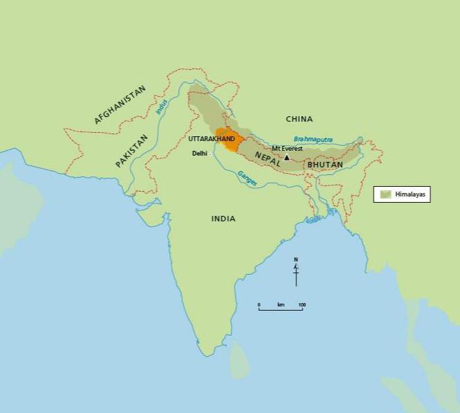
The Himalayas is the highest mountain range in the world, including over 50 mountains above 7,200 m high and the world’s highest mountain (from sea level) — the iconic Mt Everest at 8,850 metres above sea level. They are located in Asia and spread across five countries — Bhutan, India, Nepal, China and Pakistan (see Figure 1). The Himalayas are fold mountains, formed over millions of years by the collision of the Eurasian and Indian tectonic plates. Despite being close to the Tropic of Cancer, the Himalayas’ elevation mean they have a permanent snow line from around 5,500 m above sea level and have approximately 15,000 glaciers, storing 12,000 km3 of fresh water.
Your organisation does not have access to this article.
Sign up today to give your students the edge they need to achieve their best grades with subject expertise
Subscribe


