
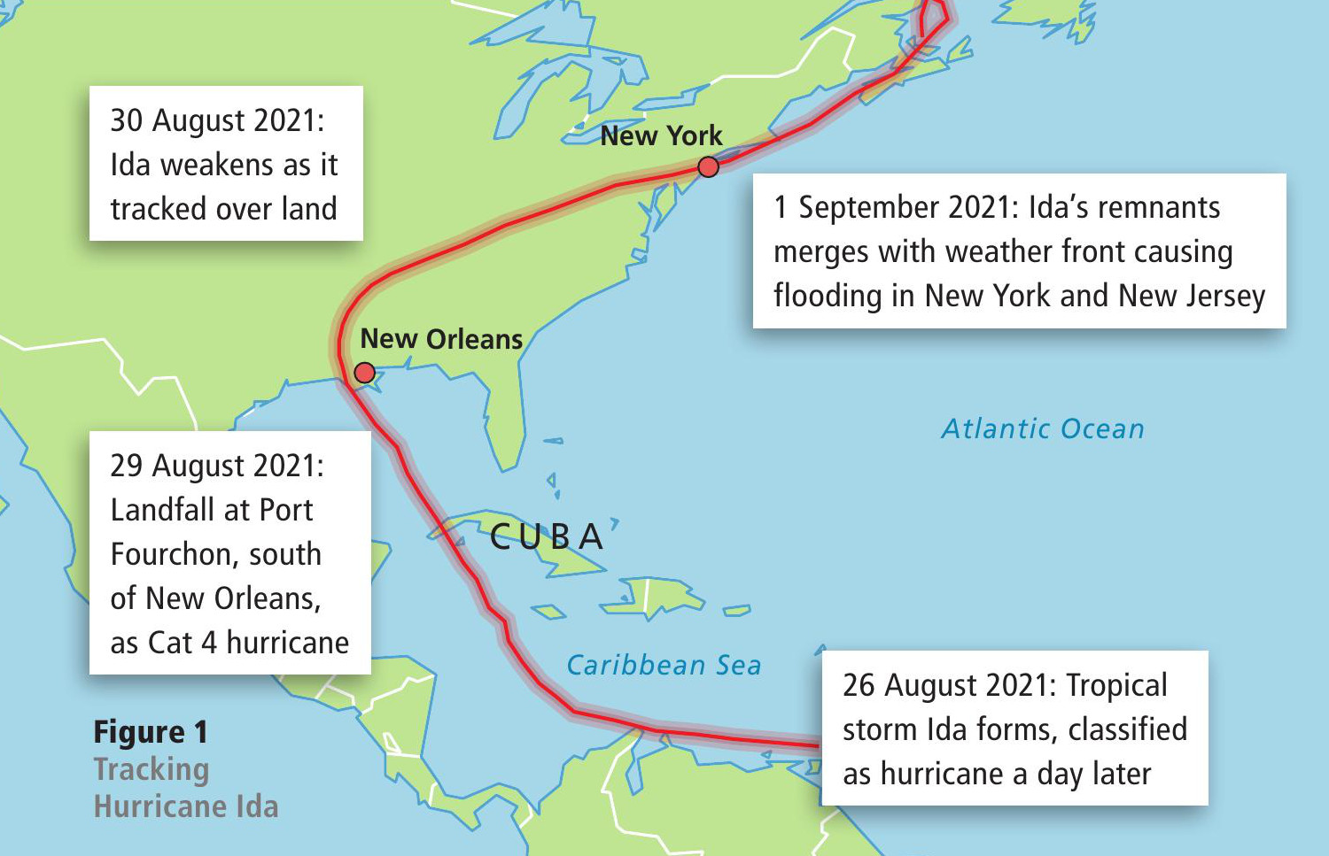
Figure 1 Tracking Hurricane Ida
Tropical storms need warm seas with temperatures over 26°C to generate energy. This warm, damp air spirals upwards towards the top of the hurricane, which can be 20 km high. As the air rises it cools and water vapour condenses forming thick clouds capable of producing torrential rain. The central area has very low pressure, but is calm and clear and is known as the eye of the storm. Very strong winds blow outwards from the eye, reaching speeds of up to 300 km per hour. See Figure 2, below.
Your organisation does not have access to this article.
Sign up today to give your students the edge they need to achieve their best grades with subject expertise
Subscribe


