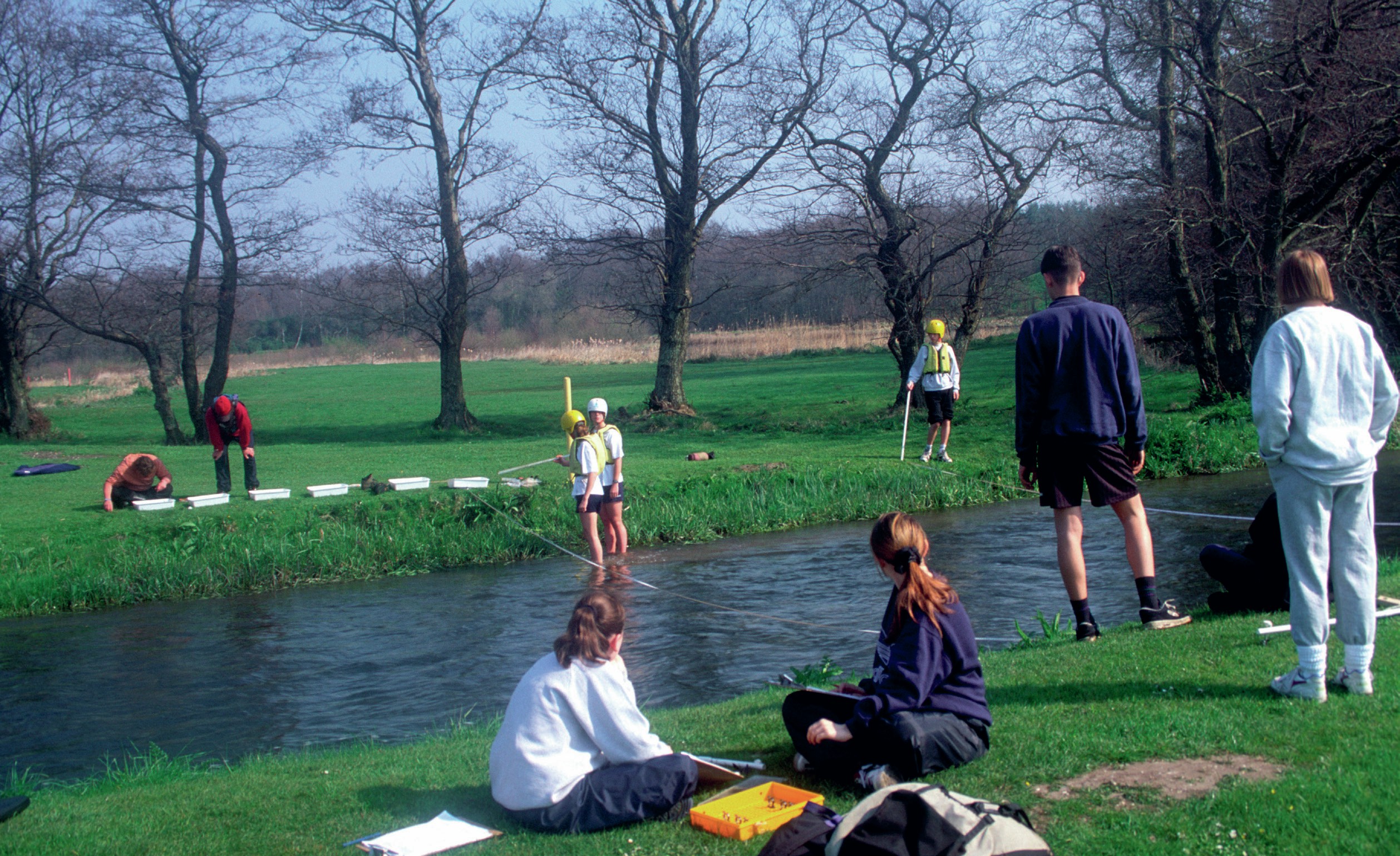
E ach geographical enquiry starts with a question or hypothesis you are trying to answer or test. In order to do this, you need to collect some data. It is impossible to collect and process all the data available, so you need to make decisions about how much data you need to collect and how you will collect them. This will lead you to collect a sample of data that represents all the data available to you.
For example, if your research question was: How does the width of the River Nidd change from source to mouth? You would need to measure the width of the River Nidd from source to mouth. These width measurements are your data. However, you wouldn’t be able to measure the width of the river along the whole 93 kilometres of the River Nidd — this would take too long and produce too much data to process. Instead, you would take a sample of width measures along the River Nidd’s course, which represents the whole river from source to mouth.
Your organisation does not have access to this article.
Sign up today to give your students the edge they need to achieve their best grades with subject expertise
Subscribe