
Previous

The Nile Delta

Next

Sampling strategies in geography fieldwork

geography online

Where the wind blows

How climate and vegetation patterns are related

Being able to view Earth with images from the hundreds of satellites in orbit provides a rich resource for geographers. It is easy to track developing weather systems, and observe seasonally shifting climate zones and vegetation responding to variations in rainfall. These websites help show how natural global systems are closely integrated.

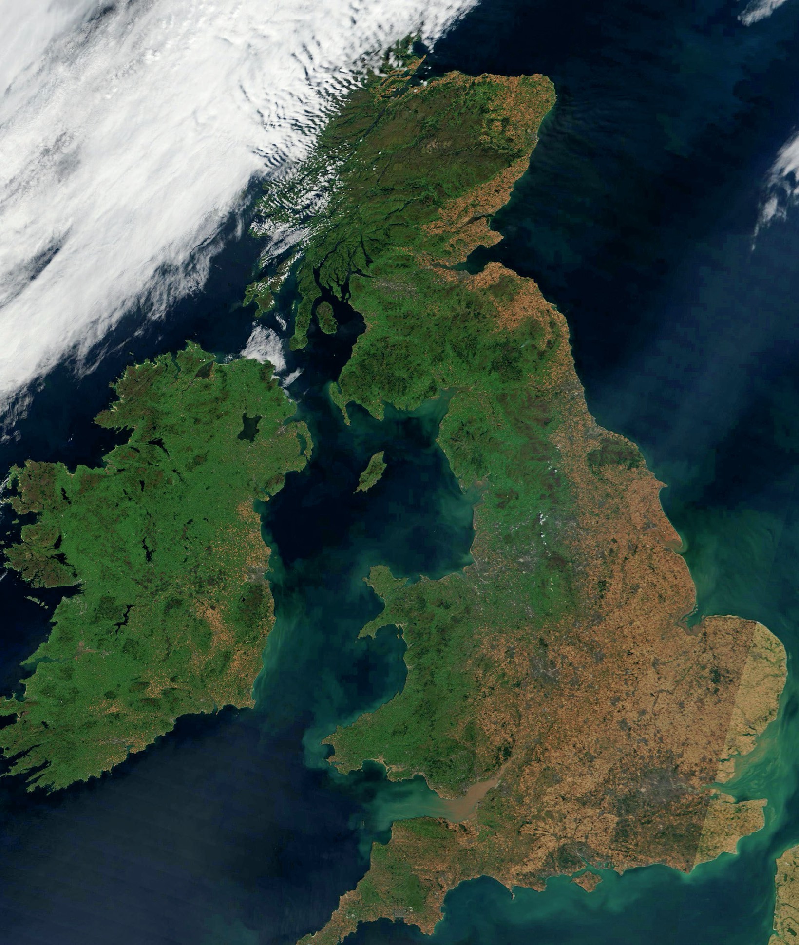
Satellite view of the UK, 11 August 2022. NASA Worldview Snapshots

V isit the NASA satellite image website: https://wvs.earthdata.nasa.gov

■ Zoom into the global map using the ‘plus’ button on the lower right of the map.

Your organisation does not have access to this article.

Sign up today to give your students the edge they need to achieve their best grades with subject expertise

Subscribe

Previous

The Nile Delta

Next

Sampling strategies in geography fieldwork

Related articles: