
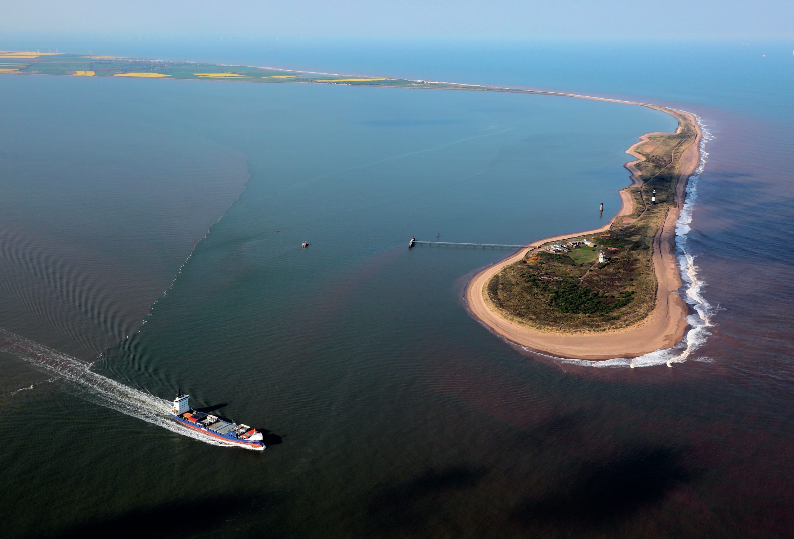
S purn is a narrow sand and shingle spit which extends almost 5 kilometres (3 miles) across the Humber estuary from the Holderness coast in East Yorkshire. In places the spit is only 45 metres wide. The southernmost tip of the spit is known as Spurn Head or Spurn Point. It was once connected to the mainland by road, but a storm damaged the road in 2013 and it is now totally cut off at high tide.
The spit is made from sand, shingle and boulder clay eroded from the Holderness coast, which lies to the north of Spurn and carried southwards by longshore drift. On the Humber side of the spit an area of saltmarsh has built up by deposition of sediment in the sheltered water behind the spit. Although the spit is held in place by plants, especially marram grass, its position changes and it is moving westwards at a rate of about 2 metres per year, keeping pace with the coastal erosion further north. In the past groynes slowed the movement of sediment but these defences are now broken and will not be replaced meaning the spit will continue to erode.
Your organisation does not have access to this article.
Sign up today to give your students the edge they need to achieve their best grades with subject expertise
Subscribe


