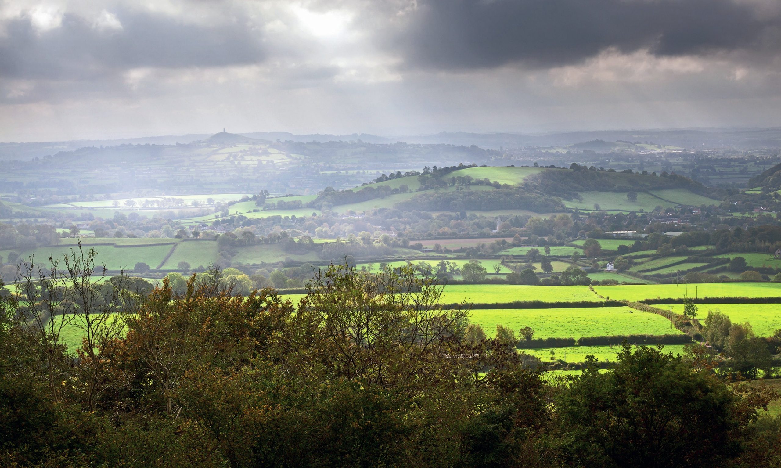
In early 2014 the Somerset Levels flooded due to heavy rain falling onto saturated land in a flat area. The main river, the River Parrett, also experienced tidal surges, meaning flood water couldn’t flow as easily into the sea. Over 14,000 hectares of farmland was flooded, with 16 farms evacuated. The Parrett broke its banks in the village of Moorland, forcing people to flee their homes in the middle of the night with whatever they could grab. A total of 600 homes across the Somerset Levels were flooded and the cost was estimated at over £10 million by Somerset County Council.
So why haven’t the people of the Somerset Levels suffered in the same way since 2014? The Somerset Levels and Moors 20-year action plan has been set up so that ‘the impact of extreme weather events is being reduced by land and water management in both upper catchments and the flood plain and by greater community resilience.’
Your organisation does not have access to this article.
Sign up today to give your students the edge they need to achieve their best grades with subject expertise
Subscribe


