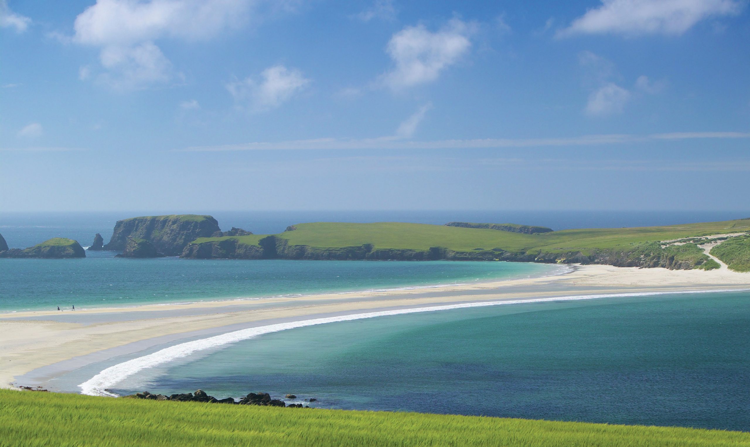
A tombolo is a beach deposit which links an island to the mainland. Tombolos are formed by the effect of islands on wave approach to the coast. Islands act as obstructions, and cause waves to refract as they wrap around them. The waves then approach the coast at an angle from both sides of the island. Due to the action of longshore drift (Inset 1 and Figure 1) they move sediment around both sides of the island and it accumulates between the lee of the island and the mainland.
It is often difficult to identify true tombolos in areas that have experienced a lot of coastal development. The original processes become hidden under buildings which consolidate mobile sediments. In Britain, the largest active sand tombolo is on St Ninian’s Isle in the Shetlands. Here the lack of development allows easy observation of the physical processes that built the feature. A tombolo may also join two islands together, as has happened at Isla Margarita, Venezuela.
Your organisation does not have access to this article.
Sign up today to give your students the edge they need to achieve their best grades with subject expertise
Subscribe


