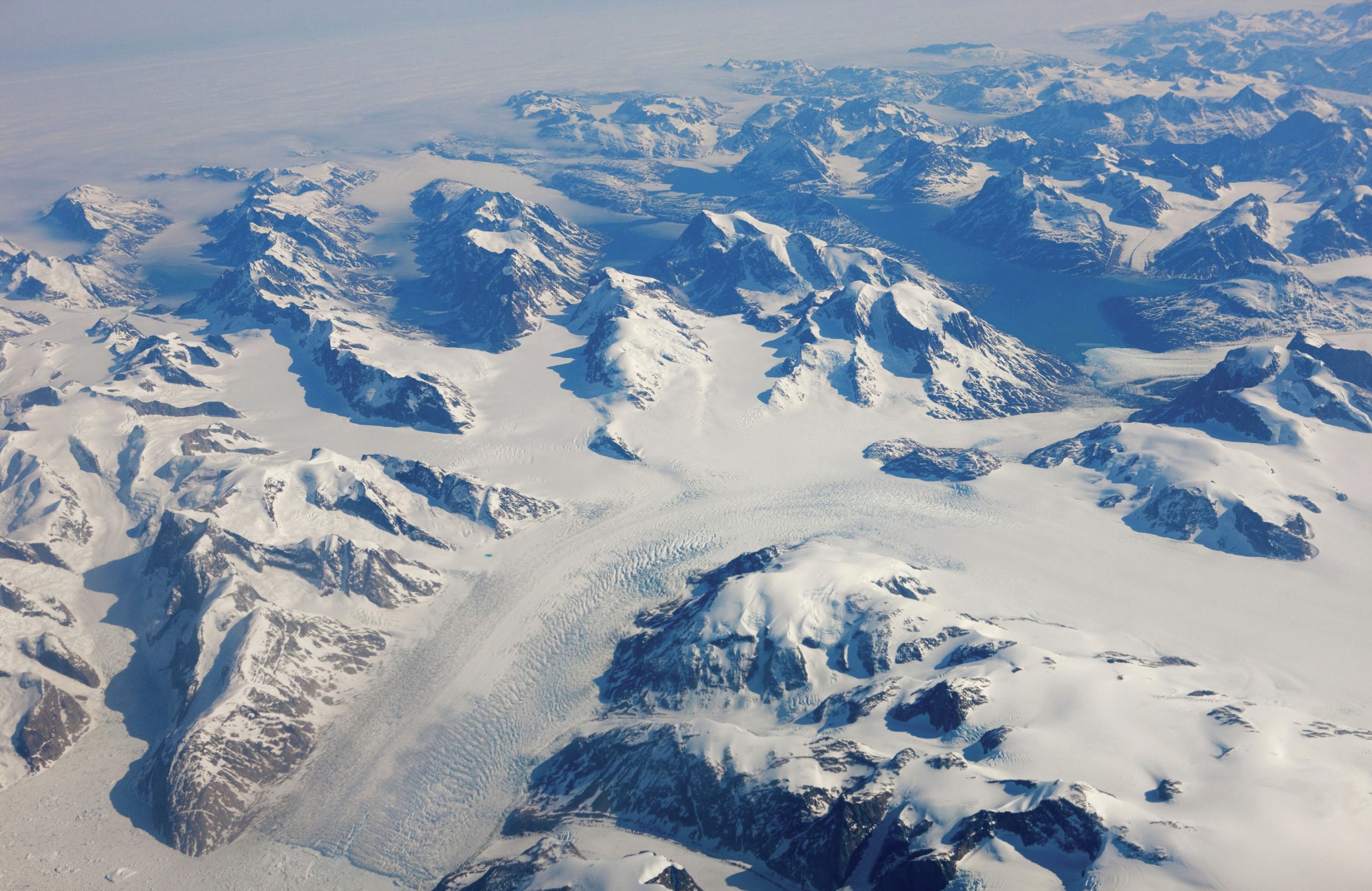
Melting ice caps in Greenland, and their impact on sea-level rise, are often in the news. For several decades surface air temperatures in the Arctic have warmed at approximately twice the global rate, with increases of up to 5°C during the twentieth century(Figure 1). Sea-ice extent in the Arctic has reduced by roughly 2.7% per decade since the late 1970s, and meltwater from glaciers and ice caps has contributed 0.8 mm per year to sea-level rise over the last couple of decades.
The ice caps are shrinking and ice retreat is occurring most rapidly on the glaciers which feed into the oceans. Glaciers and ice caps are the main contributors to sea-level increase. The recent observed retreat, thinning and acceleration of the majority of Greenland’s outlet glaciers south of 70°N has raised concerns over future contributions to sea-level rise. Predictions suggest that Arctic glaciers will continue to retreat. If the Greenland ice sheet completely disappears global sea level could rise by as much as 7 m.
Your organisation does not have access to this article.
Sign up today to give your students the edge they need to achieve their best grades with subject expertise
Subscribe


