Australia is at high risk of natural hazards, especially atmospheric hazards. Research conducted by the Bureau of Transport Economics has shown the economic cost of natural hazards (Figure 1). Flooding is Australia’s costliest form of natural hazard, with losses estimated at over £180 million a year. Fortunately, Australia’s physical size and relatively small population mean that few natural hazards become disasters on the scale of the tsunami that struck Japan in 2011.
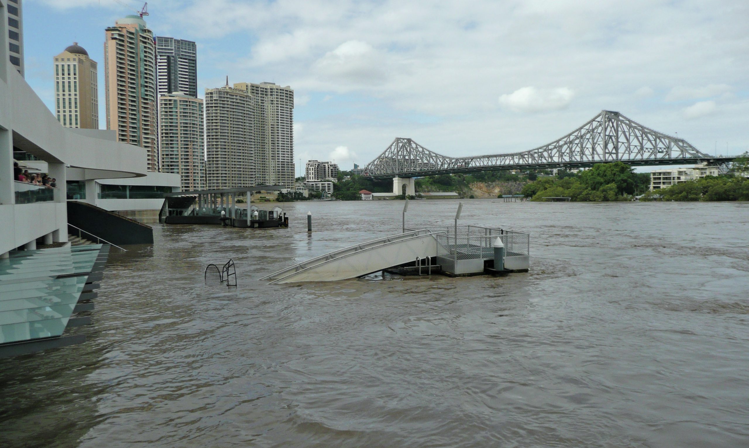
In northern Australia, most of the big floods occur in summer or early autumn in association with tropical cyclones or intense monsoonal depressions. These systems can produce staggering quantities of rainfall — as much as 1,000 mm in a few days. The official 24-hour rainfall record of 907 mm was set on 3 February 1893 at Crohamhurst, northwest of Brisbane, and caused devastating floods in Brisbane. In January 1979, Cyclone Peter dumped 1,947 mm in 48 hours at Bellenden Ker in north Queensland, as uplift of moisture-laden cyclonic winds by mountainous terrain intensified already excessive precipitation. More recently (February 1999) Cyclone Rona produced 1,870 mm in 48 hours at the same location.
Your organisation does not have access to this article.
Sign up today to give your students the edge they need to achieve their best grades with subject expertise
Subscribe


