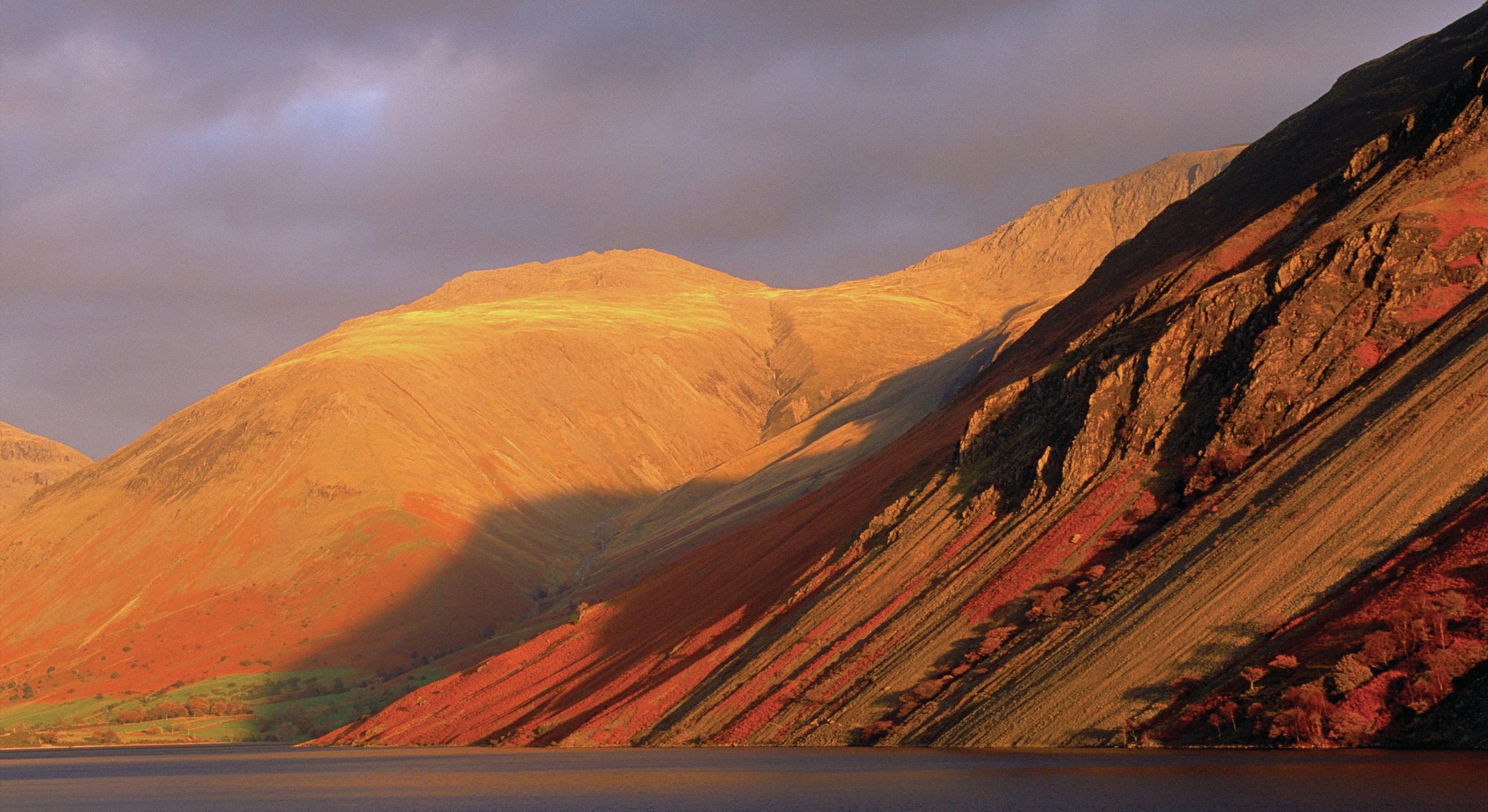
Geomorphology means the study of the shape or form of the Earth’s surface. The term was first used in Germany in 1858. Its origins were in geology, and one of the first geographers to use the science was William Morris Davis (1850–1934). He proposed a cycle of erosion for river valleys, suggesting that they evolved through stages of youth, maturity and old age. Davis also conceived other cycles including the arid, coastal and glacial cycles, and proposed that any landscape was a function of structure, process and time. His ideas dominated geomorphology for the first half of the twentieth century, and led to much debate.
At first geomorphology was part of geographical and geological studies. It became identified as a separate science when geomorphological societies were created. The first was in Switzerland in 1946. The British Geomorphological Research Group (BGRG) was formed in 1960, becoming the British Society for Geomorphology (BSG) in 2006.
Your organisation does not have access to this article.
Sign up today to give your students the edge they need to achieve their best grades with subject expertise
Subscribe


