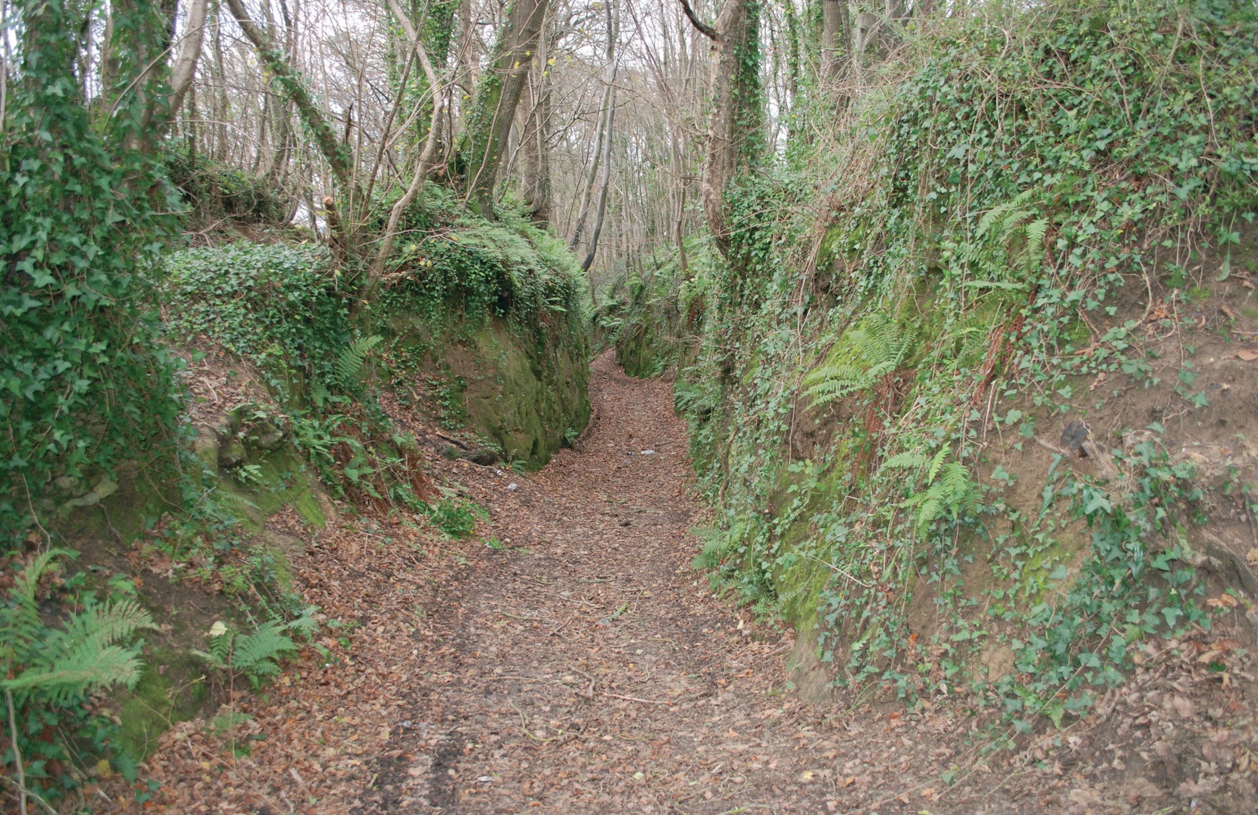
Sunken lanes are a common feature of our landscape, created by hundreds of years of erosion by people, vehicles and animals. Many years of traffic have caused tracks and roads to cut down below the level of the surrounding landscape, often by many metres. Erosion continues unless the track is metalled (surfaced with tarmac or concrete). In England there are examples of both metalled and unmetalled sunken lanes. The depth of the lane was originally controlled by the depth of resistant or impermeable rock strata.
The lanes frequently occur on softer rocks such as sandstones or limestones which are more easily worn away, but the rock must have enough strength to maintain the characteristic steep banks. Good examples are found on the Bridport sands around Yeovil in Somerset and on the lower greensand in West Sussex. However, they are also found on the chalk of southern England, slaty colluvium in Devon, the lias of Dorset and red sandstones in the Midlands.
Your organisation does not have access to this article.
Sign up today to give your students the edge they need to achieve their best grades with subject expertise
Subscribe


