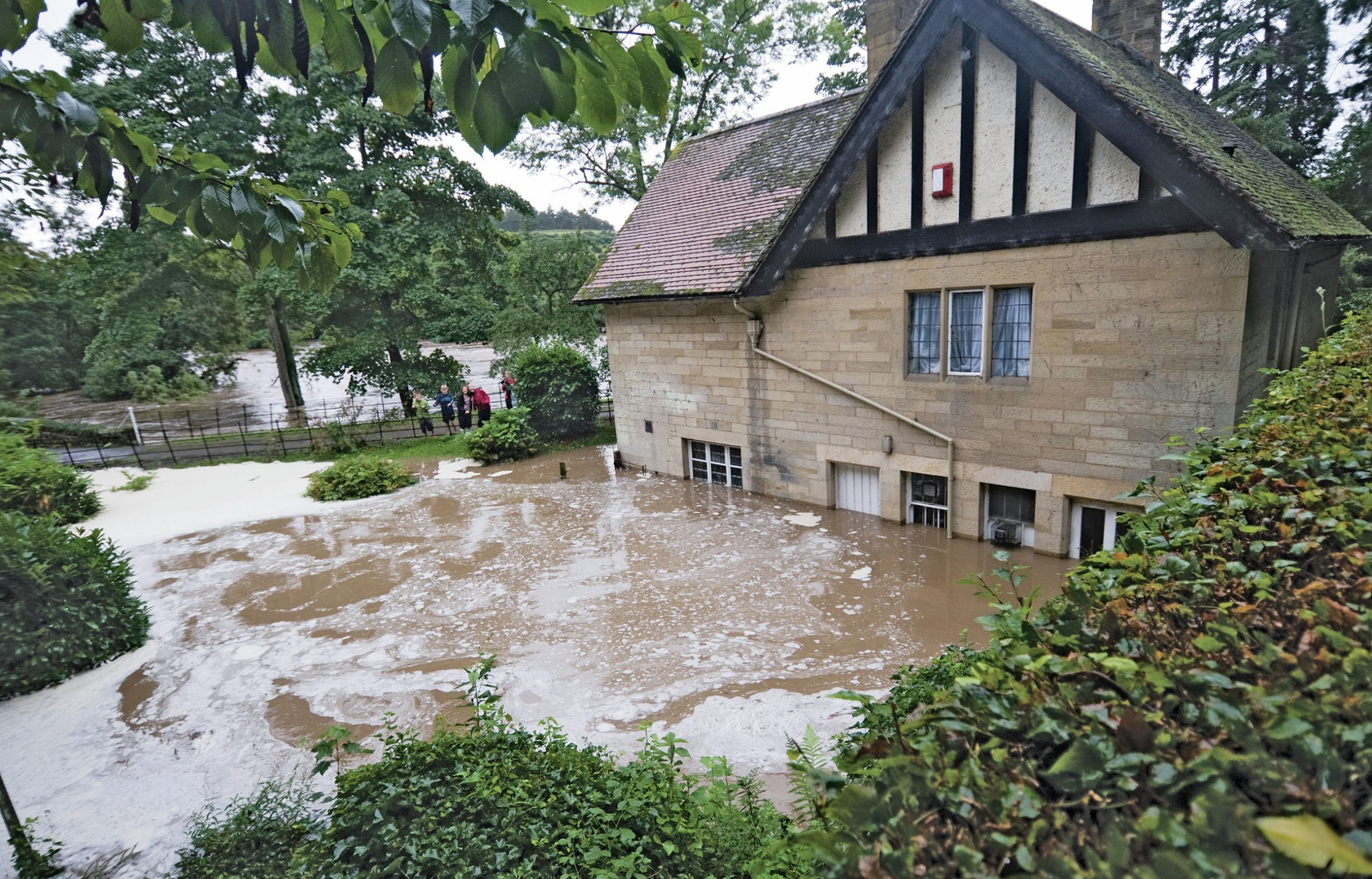
On the weekend of 6–7 September 2008 Northumberland experienced flooding notable for both its severity and its extent. It was thought to be at least as significant as the previous largest recorded event in 1948. The county received over 1 month’s rainfall in a 24-hour period, leading to severe f looding. This included the towns of Morpeth and Rothbury 30–50 km to the south of Glendale.
The flooding is estimated to have been at least a 1 in 200 year event which followed several weeks of above-average rainfall. In the Cheviot Hills the River Till, River Breamish and River Glen all burst their banks, causing significant damage and inconvenience to people, buildings, infrastructure and the local economy. There were also geomorphological changes to the river channels. The alterations to the River Glen at Kirknewton — and its management after the event — are the focus of this article (see Box 1 and Figure 1).
Your organisation does not have access to this article.
Sign up today to give your students the edge they need to achieve their best grades with subject expertise
Subscribe


