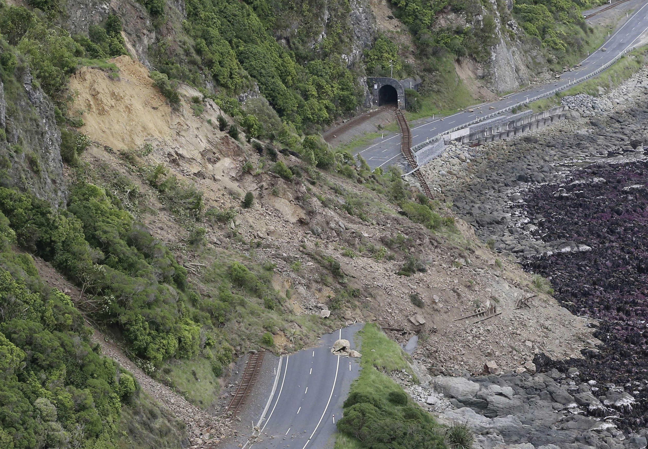
On 14 November 2016 the South Island of New Zealand was hit by a magnitude 7.8 earthquake — one of the most powerful recorded in this region. The geomorphological expression of this event was spectacular. In the days that followed, newspapers around the world showed graphic images of huge ground cracks, uplifted marine platforms, mass movements on hillslopes, and lateral shifts of land. The photograph shows a major landslide that damaged the railway and blocked State Highway 1 on the east coast of South Island, cutting off the town of Kaikoura.
GeoNet is the official source of geological hazard information for New Zealand — its web pages provide a rich source of data on the Kaikoura earthquake (www.geonet.org.nz). This earthquake has been documented in great detail and provides a fascinating case study of how landscapes can respond to tectonic processes at a range of scales. Between 80,000 and 100,000 landslides were triggered by the earthquake. Some of the largest landslides blocked valleys and dammed rivers, creating the secondary geohazard of dam burst flooding.
Your organisation does not have access to this article.
Sign up today to give your students the edge they need to achieve their best grades with subject expertise
Subscribe


