On 16 April 2016, the northern coastal plain of Ecuador experienced a 7.8 magnitude earthquake leaving 673 people dead. Large tectonic events occur in this region because of the intense subduction of the Nazca plate as it collides with the South American plate at a rate of 7 cm per year. In the twentieth century alone, Ecuador had six major seismic shocks (the strongest of which was an 8.8 magnitude earthquake in 1906).Most of these occurred within 200 km of the capital city, Quito.
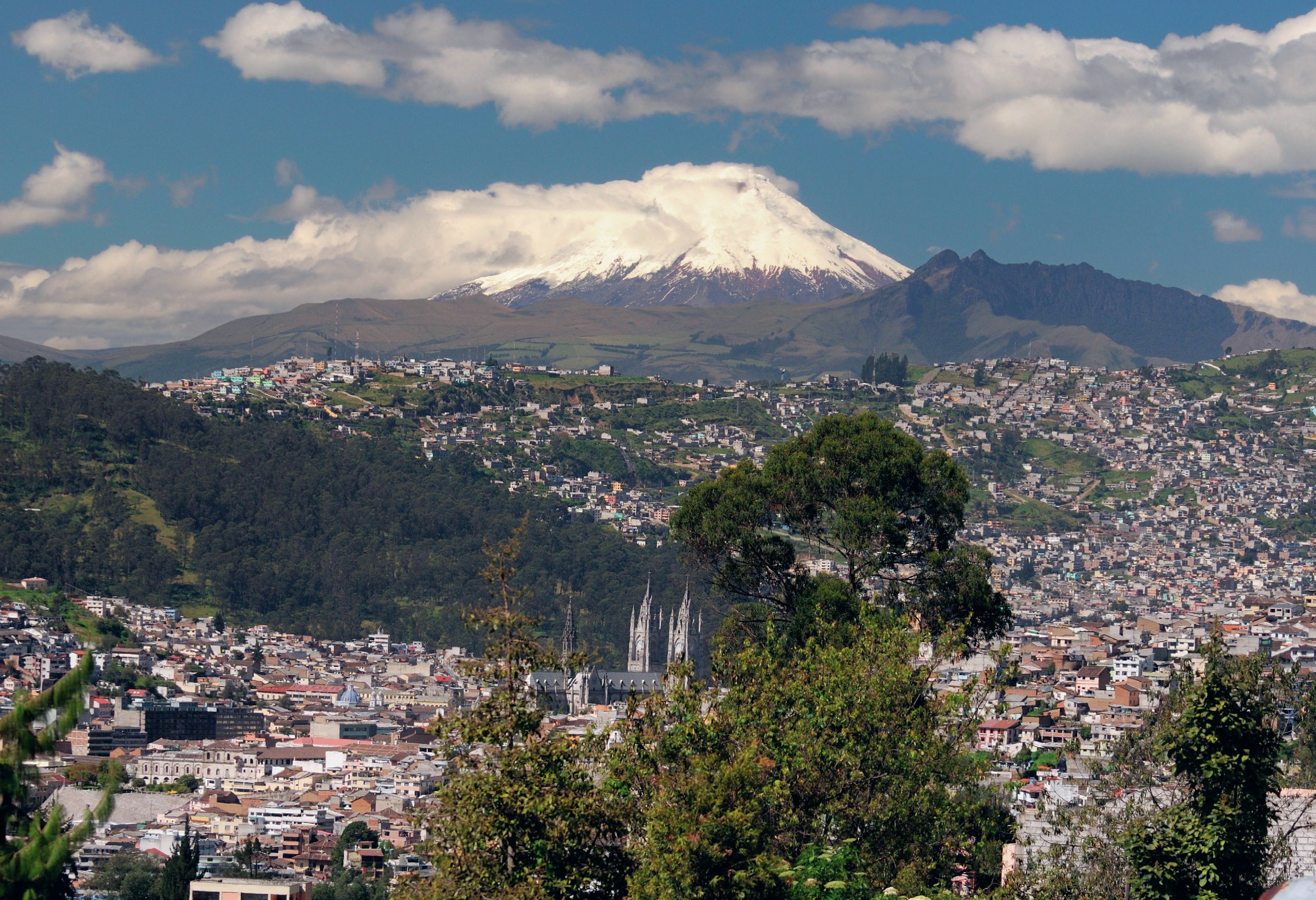
There are also many volcanoes in the central highlands of the east and west Andes which form the spine of the country. Most of the population lives in this zone where the higher elevations means there is a moderate climate. The 11 most active volcanoes are located just south of Quito and all lie within 200 km of one other (Figure 1). Recent studies document a complex tectonic situation in Ecuador. The north Andean convergent margin (NACM), which runs through the country, is the most active tectonic margin in the world.
Your organisation does not have access to this article.
Sign up today to give your students the edge they need to achieve their best grades with subject expertise
Subscribe


