Geographical Skills in the last issue of GEOGRAPHY REVIEW looked at some of the technical aspects of taking good photographs for your NEA. Photos are useful in conveying a point about a place, process or event, creating a narrative, or making a statement. In this issue we look at how to present your photos as part of your work, including annotating, geolocating and interpreting.
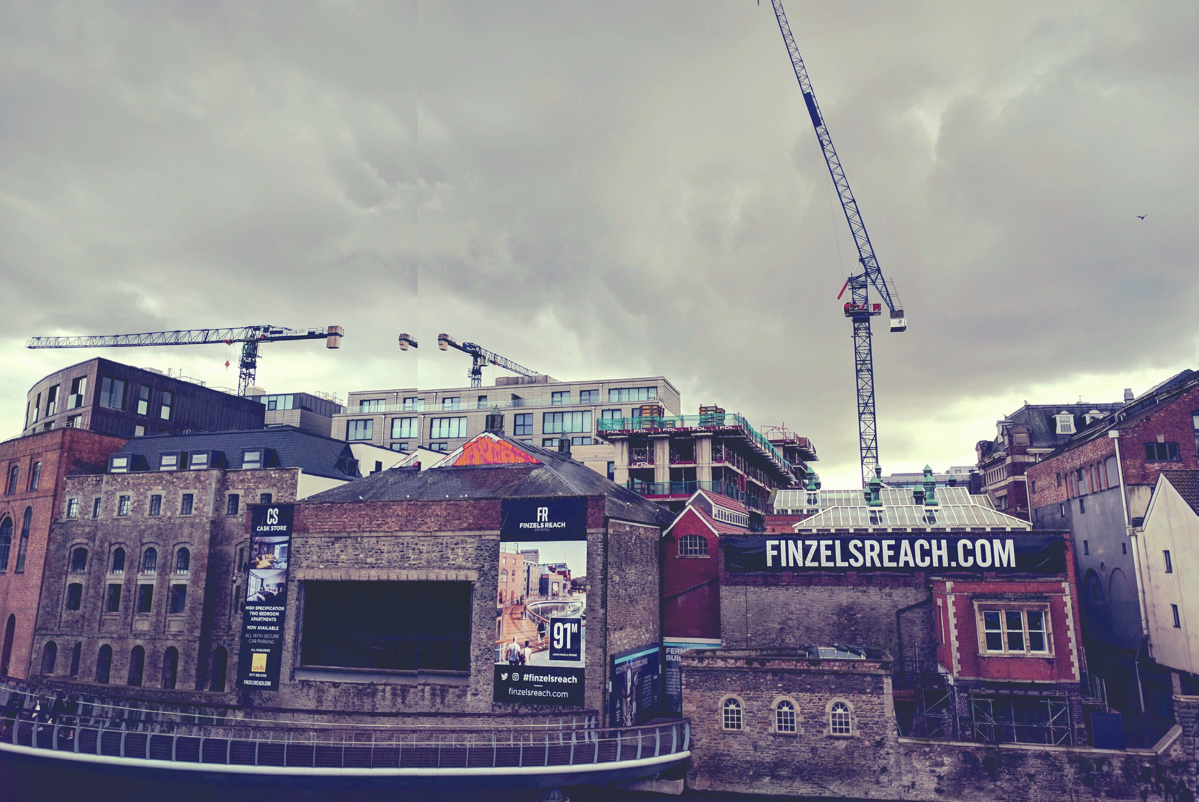
Sometimes a single image is not enough to fully convey a location. One way of overcoming this is to place several images alongside each other or to create a composite image such as a mosaic. The use of several images together tells a richer geographical story. In the mosaic above right there is an emphasis on tranquillity, coastlines, textures, remoteness, naturalness, ecosystems. A relevant question to ask may be what the mosaic is not showing—who or what has been missed out and why? Look online or at photo apps for ways of putting images together using a range of techniques.
Your organisation does not have access to this article.
Sign up today to give your students the edge they need to achieve their best grades with subject expertise
Subscribe


