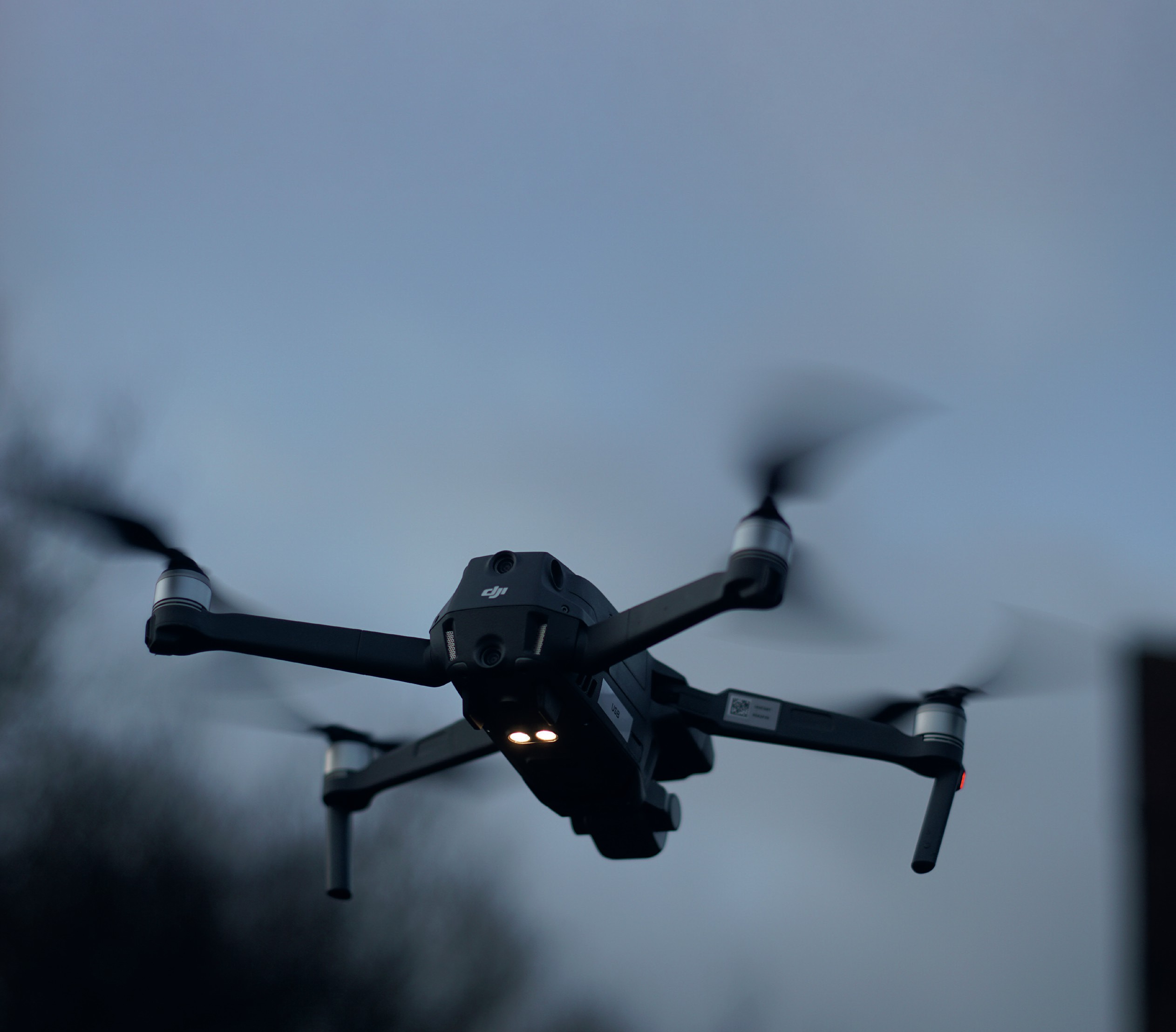
Unmanned aerial vehicles (UAVs) or drones, as they are more commonly known, are being used in an increasing number of applications. Drone technology has been used by defence organisations and tech-savvy consumers for some time. But increasingly drones are being utilised in emergency response and disaster relief as well as conservation and disease control.
UAVs are used in geography for a variety of remote-sensing purposes. Their most obvious use is in capturing aerial shots — both images and video — which can be used to create GIS maps that show landforms and processes. They have many more uses, for example 3D modelling and survey applications, including ecosystem assessment and forestry productivity.
Your organisation does not have access to this article.
Sign up today to give your students the edge they need to achieve their best grades with subject expertise
Subscribe


