© MCL Yingling/stock.adobe.com
You can download a pdf of this poster at: www.hoddereducation.co.uk/geographyreviewextras
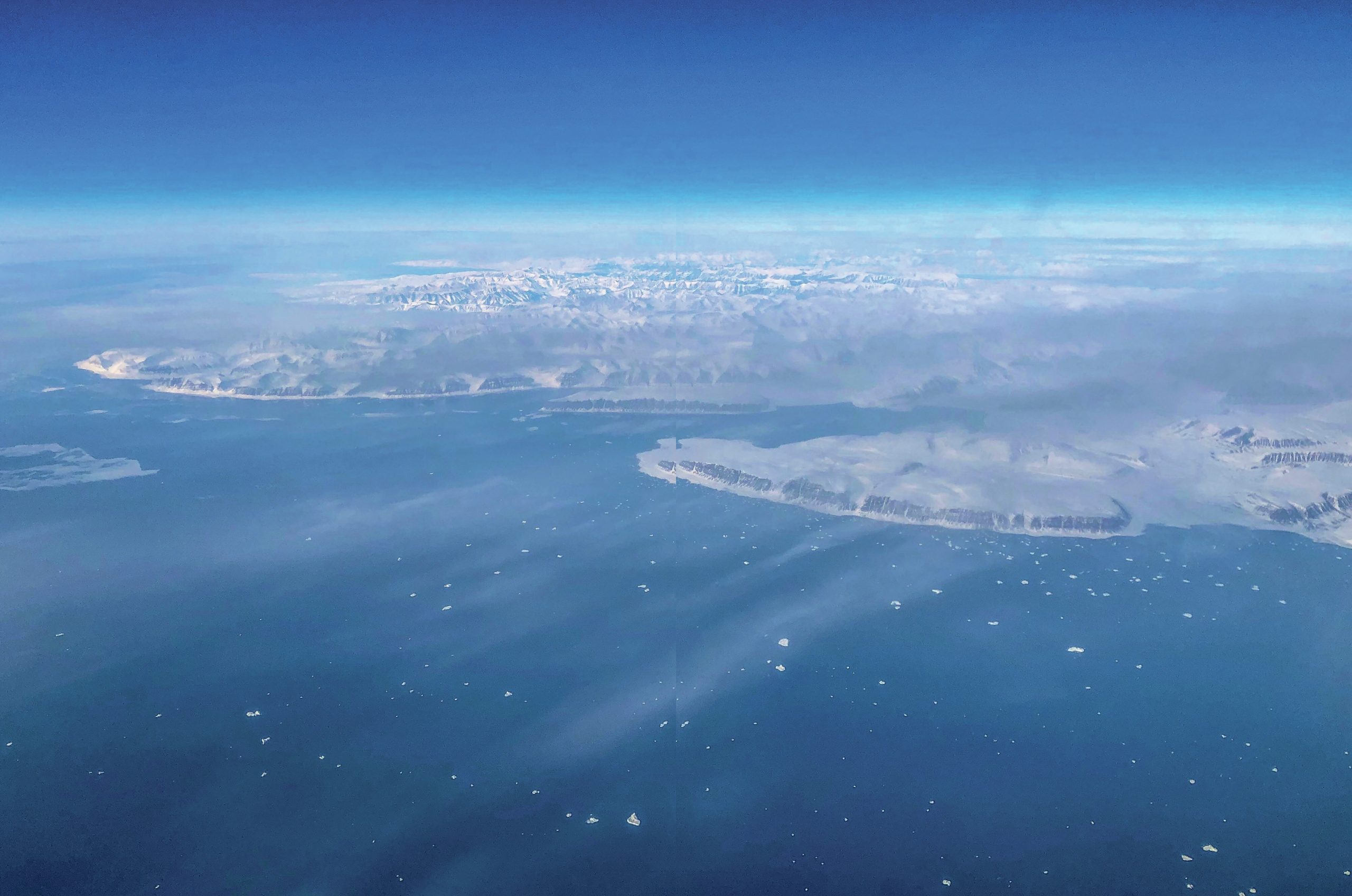
The ice sheet grew to over 1,500 metres thick some 25,000 years ago (25 ka) — subsuming our mountains — and was about a quarter of the size of the present-day Greenland Ice Sheet. Once melted, it raised sea level by nearly 2 metres. We now live on a landscape largely shaped by this ice sheet. The flow directions and extent of the ice sheet are visualised in Figure 1. This map matches well with tens of thousands of glacial landforms such as drumlins and moraines that we have mapped.
Your organisation does not have access to this article.
Sign up today to give your students the edge they need to achieve their best grades with subject expertise
Subscribe


