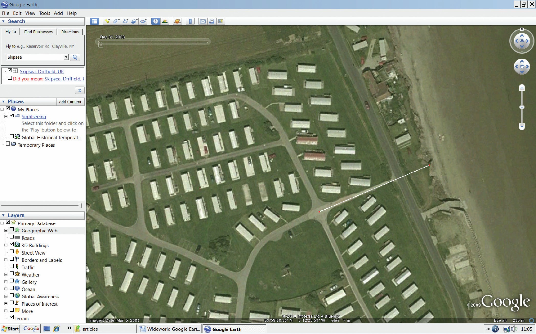
Google Earth has been providing aerial views of Britain and the rest of the planet for more than 10 years now. Newer versions of the program let you compare recent images of Britain with earlier ones — so you can see how the country’s human and physical landscape is changing before your eyes. You will need to download a recent version of Google Earth from http://earth.google.com. The download is free, but if you are using a computer that belongs to someone else you should make sure you have his or her permission beforehand.
Start up Google Earth and look at the toolbar at the top. It has various icons, including — among others — a noticeboard pin, a clock, a rising sun and a ruler. If you don’t see anything like this, select the <View> tab from the top menu bar and then select <Toolbar>. Doing this should make the icons visible.
Your organisation does not have access to this article.
Sign up today to give your students the edge they need to achieve their best grades with subject expertise
Subscribe


