
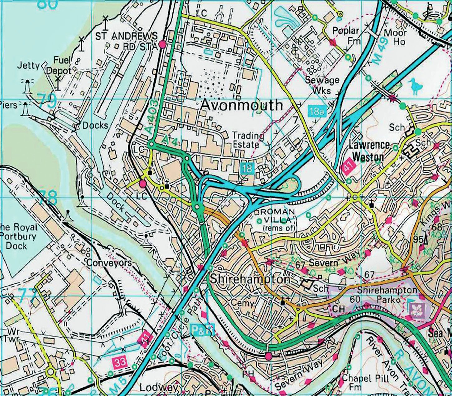
Figure 1 Extract from OS map of Bristol, with area shown in photograph indicated
This landscape is dominated by part of our motorway system. On closer inspection there are some other interesting features. The Ordnance Survey (OS) extract in Figure 1 shows the area covered by the photograph. Use it to identify the following features of the landscape.
The M5 motorway has come south from Birmingham. After connecting with the M4 (London to South Wales), it passes to the west of Bristol on its way across Somerset and eventually to Exeter.
Your organisation does not have access to this article.
Sign up today to give your students the edge they need to achieve their best grades with subject expertise
Subscribe


