
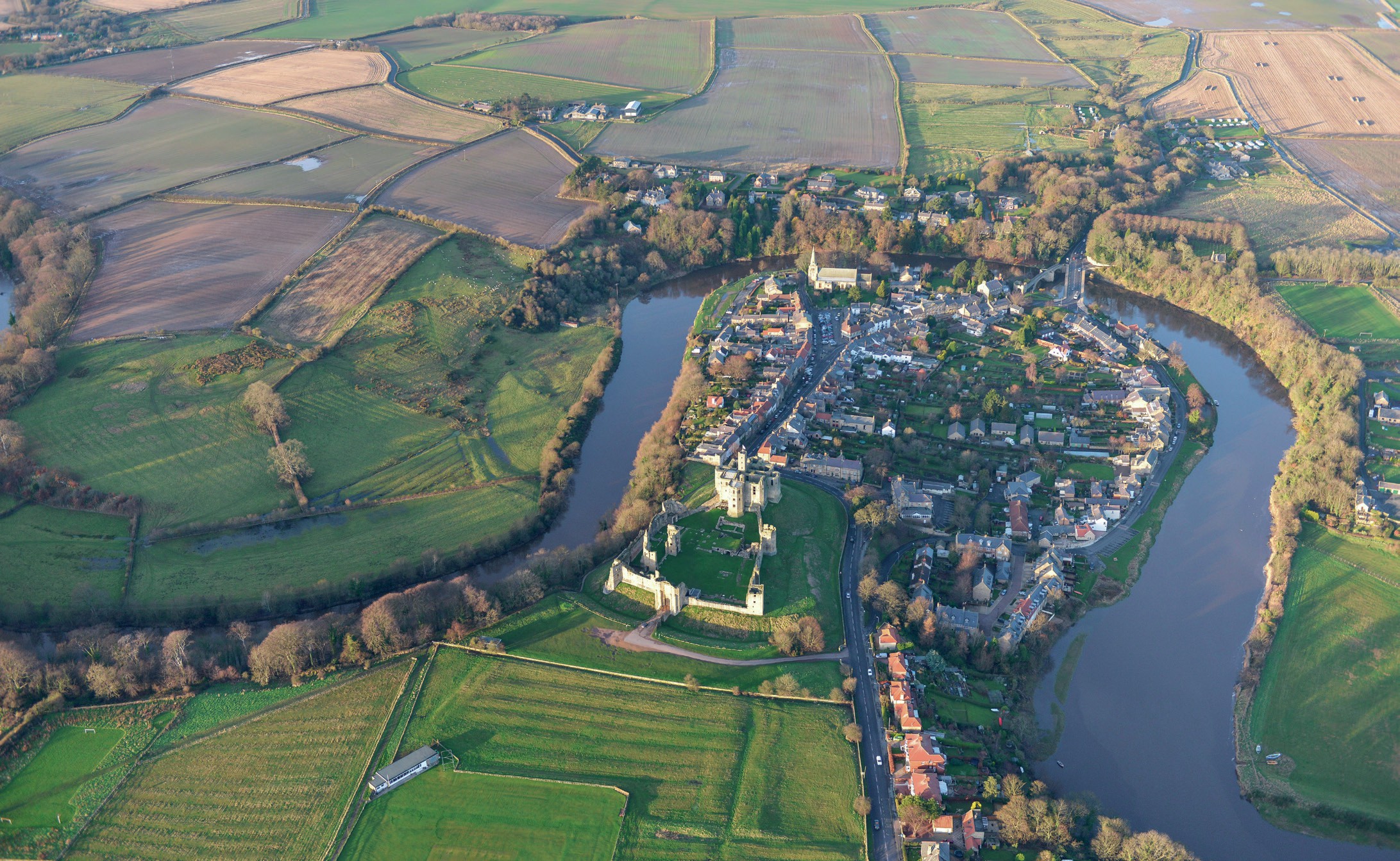
Aerial view of Warkworth, Northumberland
Go to www.hoddereducation.co.uk/wideworldextras for homework on this topic.
A fieldsketch is a qualitative primary fieldwork technique. It is an illustrated interpretation of a geographical feature or landscape (see Figure 1). A good fieldsketch is a clear line sketch with detailed annotations that describe and explain the main features of the landscape shown. They are a useful way to record your observations while completing fieldwork and help you to assess a landscape with your research question in mind. They are usually drawn outside (in the field) but can be drawn from photographs.
Your organisation does not have access to this article.
Sign up today to give your students the edge they need to achieve their best grades with subject expertise
Subscribe


