
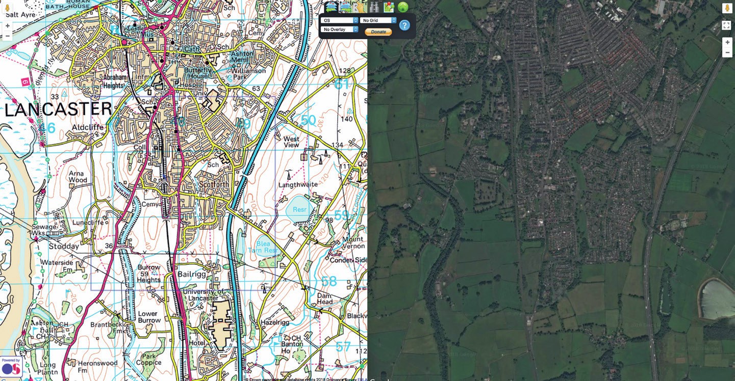
In the right-hand side of this image, you can pick out features shown on the map, such as a river, a reservoir, and the motorway
Log on to the ‘Where’s the path’ website: https://wtp2.appspot.com. You will probably see a map image on one half of your screen, and a satellite/ aerial photo or another map of the same area on the other half.
Above the black option block in the centre there is a row of icons. Two on the left show map layers with green arrows pointing left or right. By using these, and the drop-down menu immediately below, you can select different types of maps or images to show in the two panes. Select ‘OS’ for the left pane and ‘satellite’ for the right pane. This OS map will be 1:50,000 scale.
Your organisation does not have access to this article.
Sign up today to give your students the edge they need to achieve their best grades with subject expertise
Subscribe


