
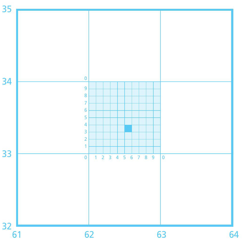
Figure 1 Six-figure grid reference guide. The coloured square is GR 625333
Knowing the most common map symbols is vital when interpreting a map, for example symbols for different types of roads and paths, natural features and tourist information.
Use an OS map key or the internet to find out the meaning of these symbols on a 1:50,000 map:
Your organisation does not have access to this article.
Sign up today to give your students the edge they need to achieve their best grades with subject expertise
Subscribe


