
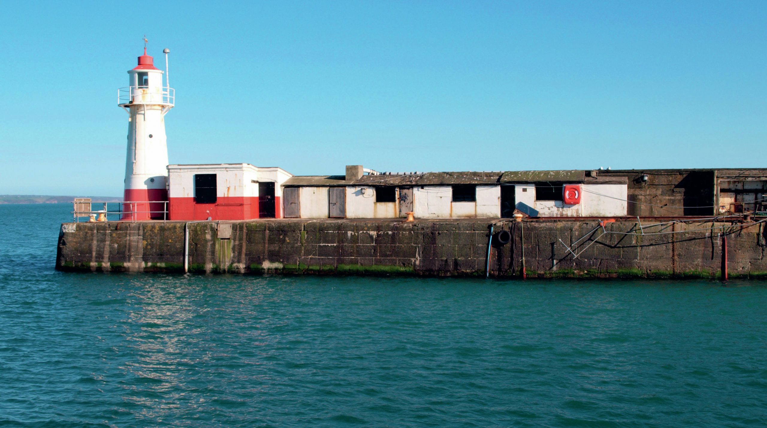
Today, we take measurements using GPS, but prior to this the sea level from which all heights in the UK were measured was calculated in a small hut on the end of the Harbour Pier at Newlyn in Cornwall (Figure 1). A small plaque on the outside wall states, ‘The Newlyn Tidal Observatory was used by the Ordnance Survey from 1915–1983 and houses the Datum from which all heights above sea level are based.’
A visit to a seaside beach shows that measuring ‘sea level’ is not straightforward — the tide rises and falls, sometimes the wind whips up higher-than-normal waves and there are higher-than-normal tides at certain times of the year, especially in the spring and autumn.
Your organisation does not have access to this article.
Sign up today to give your students the edge they need to achieve their best grades with subject expertise
Subscribe


