
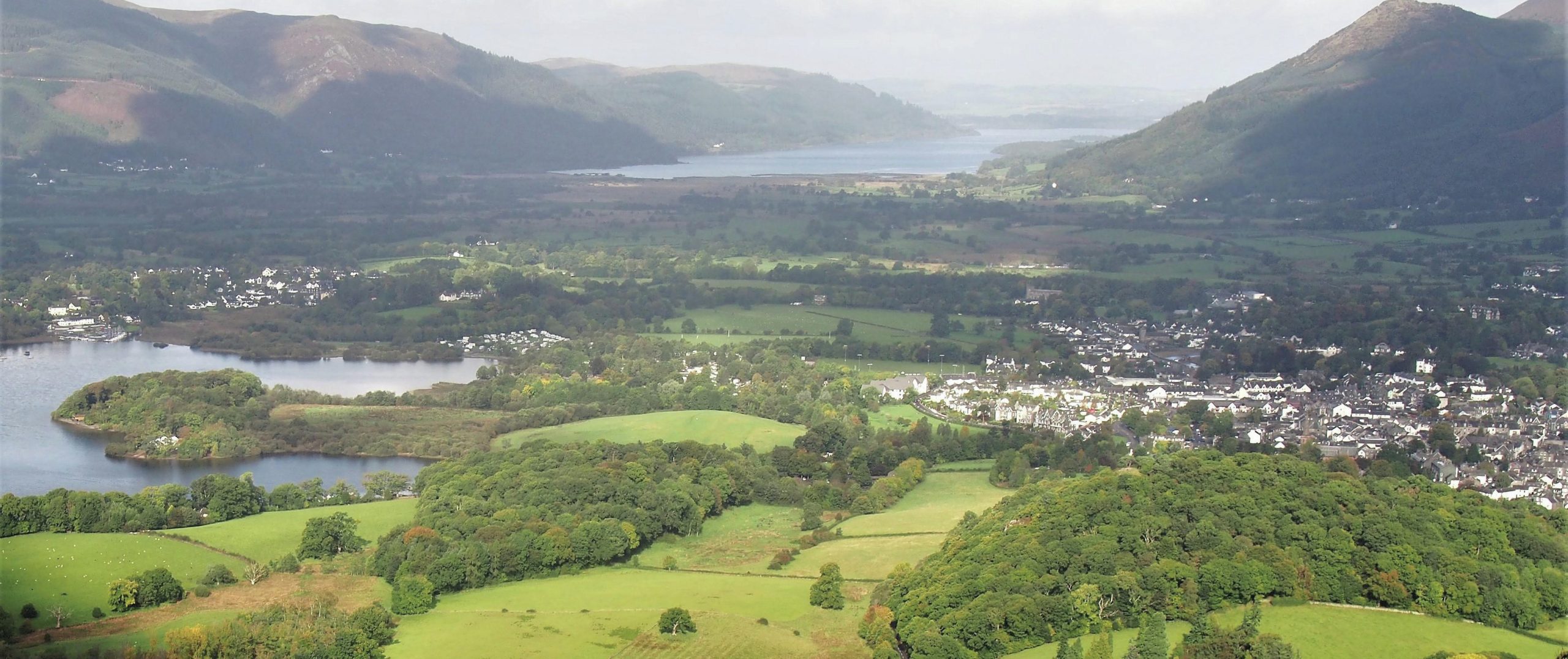
The photograph of the Lake District shows the head of Derwentwater on the left and Lake Bassenthwaite beyond with low-lying land between them. The outskirts of Keswick can be seen on the right. Figure 1 makes the layout clear.
The two lakes were once one, occupying a valley carved by a glacier during the Ice Age. The water level was then about 6 metres higher than it is today. The level of water of a lake is entirely controlled by the height of the point at which it discharges. The outflowing river at the north end of Bassenthwaite had not cut the trench so deep as it is now.
Your organisation does not have access to this article.
Sign up today to give your students the edge they need to achieve their best grades with subject expertise
Subscribe


