
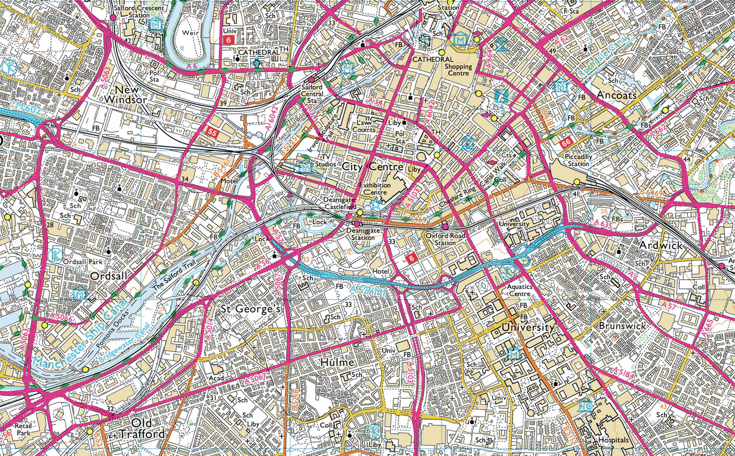
The Ordnance Survey (OS) is the national mapping agency of the UK. It produces maps for the entirety of the UK and you can buy their maps at different scales, either digital or paper copies. The most common OS maps used for walking, cycling and general exploration are at 1:25,000 scale, which means that each 1 unit on the map represents 25,000 of the same unit on the ground. Regardless of what scale the map is at, each grid square on an OS map shows an area that is 1 km by 1 km on the ground, helping you to estimate distances between places on a map.
OS maps use symbols to provide information about what can be found in an area and these are shown in a key. The symbols are the same in every OS map and so learning the symbols for features such as a car parking, visitor centre, nature reserve and walking trails can be useful when reading these maps. You can download a useful list of OS map symbols here: www.tinyurl.com/28mn4c9b
Your organisation does not have access to this article.
Sign up today to give your students the edge they need to achieve their best grades with subject expertise
Subscribe


