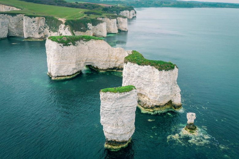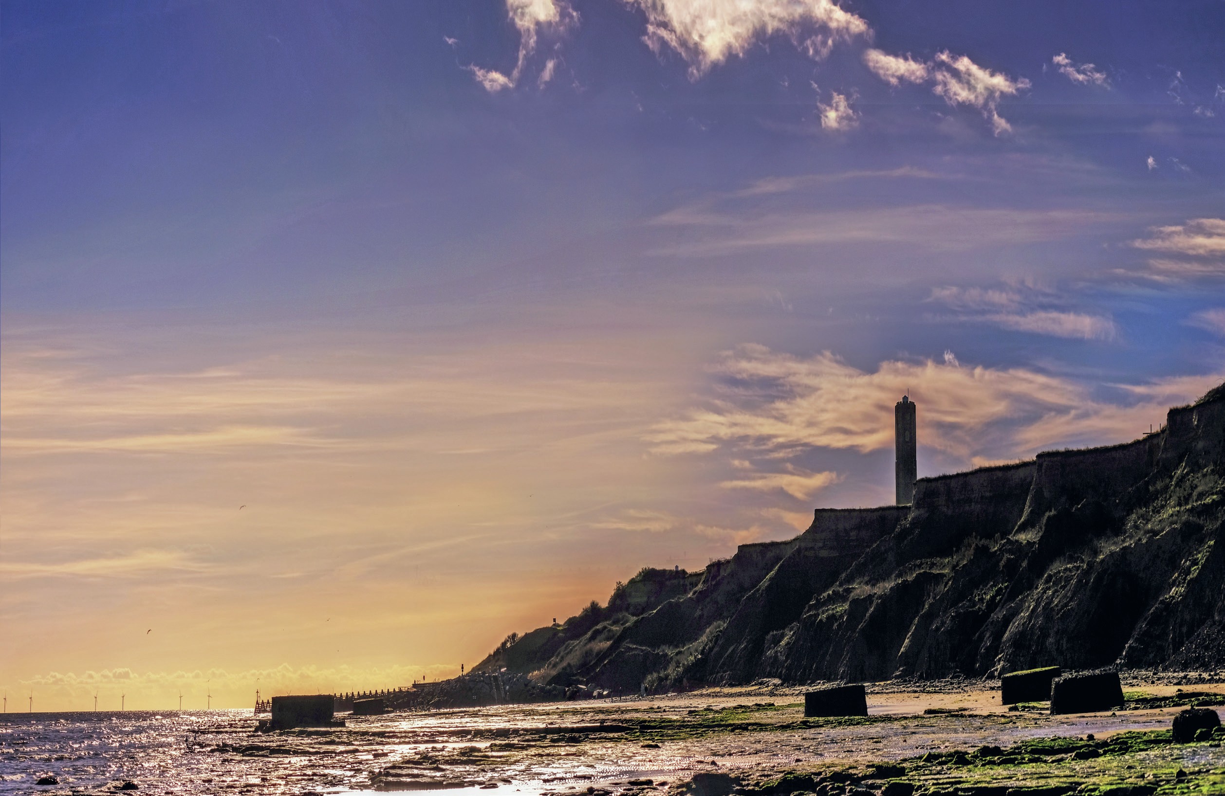
It is important to understand that to ‘annotate’ means far more than just labelling. Annotations should be a description of the features or characteristics of a place and/or an explanation of them. An annotation goes further than just labelling a feature — it is a form of explanation so oneword labels will not be sufficient.
The use of annotated photographs develops your skills in interpreting geographical features or processes. As a geographer you will be identifying the significant geographical landforms or features within a photograph, which demonstrates your ability to ‘spot the geography’ and make geographical inferences about how processes or concepts are acting on a place. This will help you gain a deeper understanding of geographical features, landforms, or processes in specific places by thinking carefully about the information presented in a photograph.
Your organisation does not have access to this article.
Sign up today to give your students the edge they need to achieve their best grades with subject expertise
Subscribe