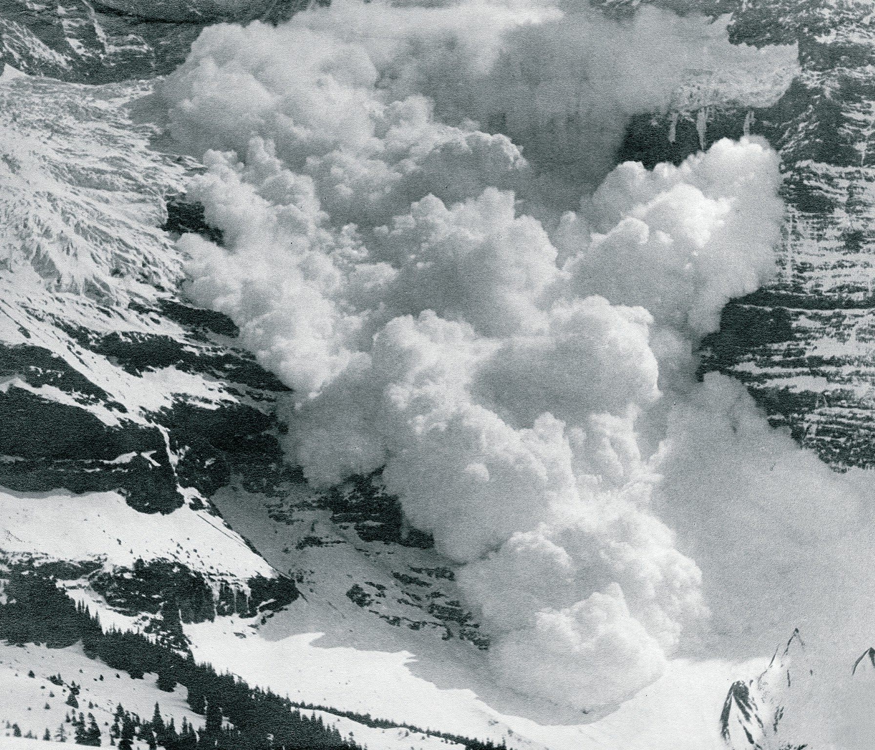
People who live in alpine regions have to cope not only with extremes in weather, but also with the risks that go with living close to mountains. These include rockfalls, landslides, and snow avalanches.Large snow avalanches involve hundreds of thousands of tonnes of snow, travelling at over 200 km h-1. They can be immensely destructive. Planners have to manage this risk by preventing building in some areas, and defending houses from the threat with engineered defences in others. See Box 1 on p. 12 for a case study from Iceland that considers some of these issues.
In order to design improved defence structures, or to predict how far an avalanche of a given size is likely to go, we need a better understanding of the physics of flowing snow. We can then insert this into our mathematical models of avalanche flow to obtain more accurate results. However, the high speeds and infrequent occurrence of avalanches make it difficult to obtain these data. We therefore have to find safe locations where we can release avalanches under the right conditions and build instruments to measure their f low. This article describes recent progress in this area, using a new radar instrument we have developed.
Your organisation does not have access to this article.
Sign up today to give your students the edge they need to achieve their best grades with subject expertise
Subscribe


