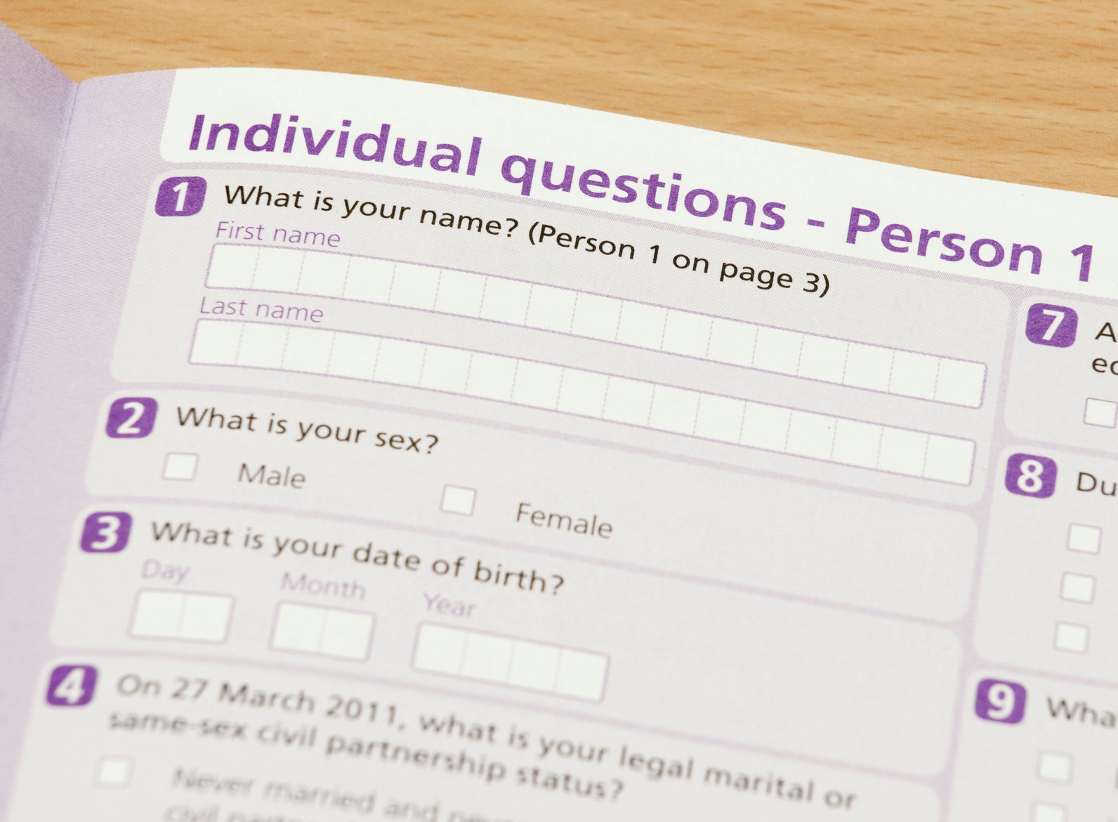
The UK census is a demographic snapshot of the whole nation taken every 10 years. It’s an example of a ‘big data’ survey which provides a detailed picture of the entire population. It’s also unique in that it covers everyone in the UK at the same time and asks the same questions everywhere. This makes it easy to compare different areas at a range of scales.
The census not only collects data on households but also includes those living under one roof in institutions like care homes and boarding schools, as well as homeless people and British citizens who are overseas.
Your organisation does not have access to this article.
Sign up today to give your students the edge they need to achieve their best grades with subject expertise
Subscribe


