Assessing ‘quality of life’ (QoL) is challenging for geographers. What makes one person’s quality of life high might be a negative factor for another. It is a subjective idea which makes it hard to reliably quantify data. But at the same time this is an interesting and important area to research. It interlinks with several key A-level topics including the impact of varying deprivation levels, comparing urban and rural areas and understanding migration.
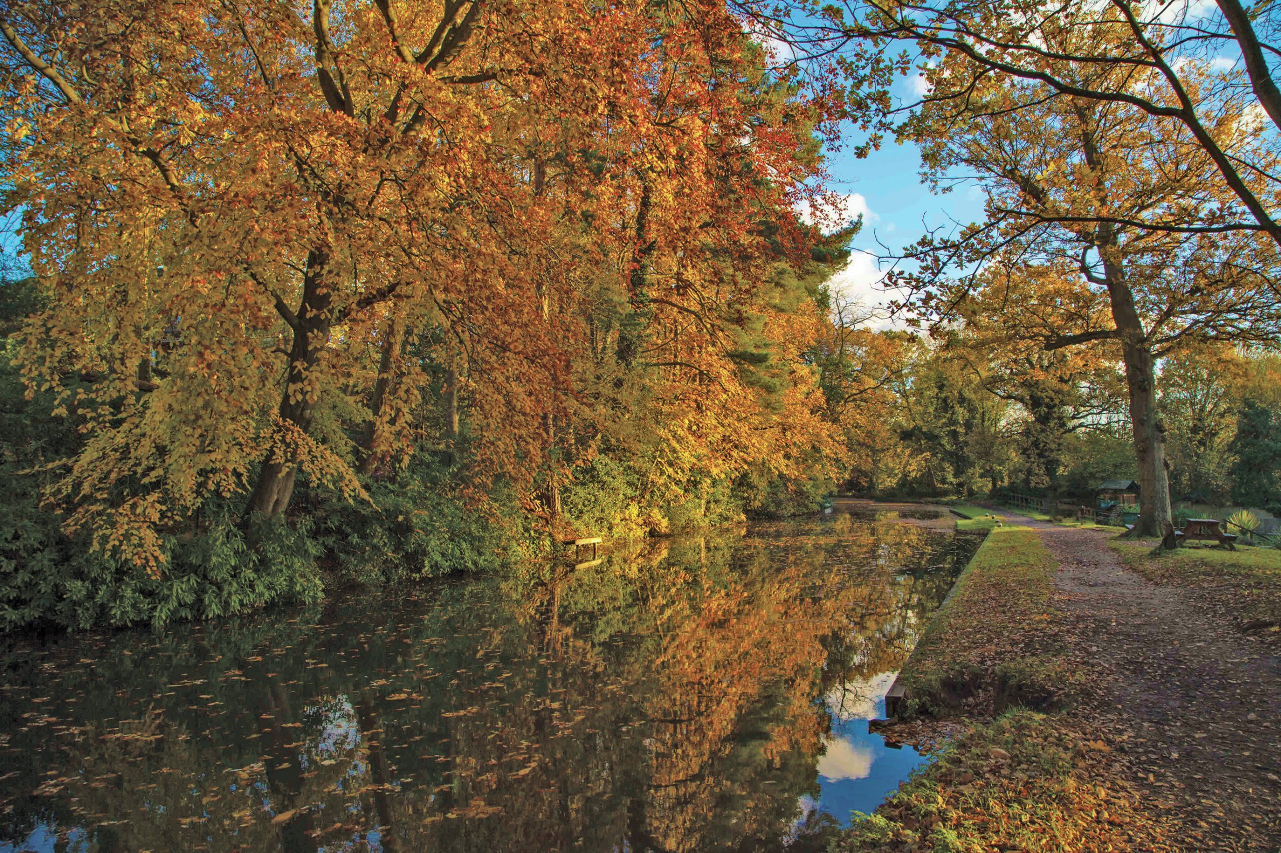
There are a number of organisations which regularly track quality of life. The famous Halifax Quality of Life survey makes the headlines each year, around December, by reporting the ‘best’ places to live in the UK. The district of Hart in Hampshire got the highest ranking in 2013 and 2014. This area scored positively on a number of indicators such as climate, quality of education, employment levels, crime rates and health. See Box 1 for more details.
Your organisation does not have access to this article.
Sign up today to give your students the edge they need to achieve their best grades with subject expertise
Subscribe


