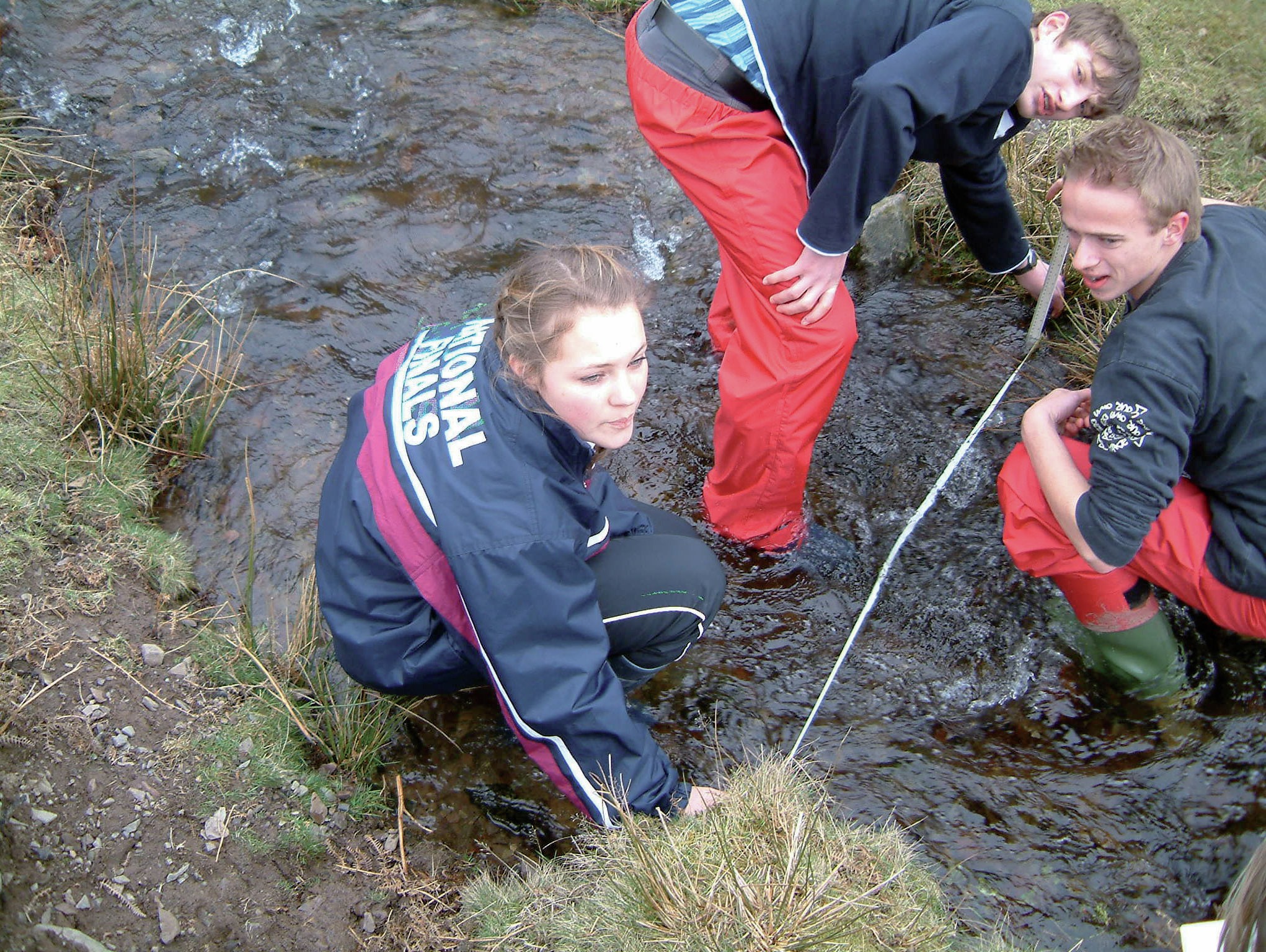
Maps are useful in documenting all kinds of fieldwork
Mapping is a key geographical skill and maps are an important element in geography fieldwork projects. You can download all kinds of maps from the internet, but it is sometimes better to draw and design your own maps for reports and you may gain additional credit for doing this.
To collect data successfully using maps you need to plan what you are going to collect and how. This Fieldwork Focus describes various approaches to using maps to help collect data.
Your organisation does not have access to this article.
Sign up today to give your students the edge they need to achieve their best grades with subject expertise
Subscribe


